Roma night lights from space
Night Light of Roma (Queensland) from space (Australia) Src. Average luminocity for 10x10km area is 14.7538% and for 50x50km: 0.7614%.
Analysis of Roma night lights 2016
Square area 10x10 km:
 2.27%
2.27%90-99
3.41%80-89
1.89%70-79
0.76%60-69
0.95%50-59
1.33%40-49
2.65%30-39
0.57%20-29
2.65%10-19
2.08%0-9
81.44%Square area 50x50 km:
0.09%90-99
0.14%80-89
0.11%70-79
0.06%60-69
0.04%50-59
0.06%40-49
0.2%30-39
0.08%20-29
0.11%10-19
0.15%0-9
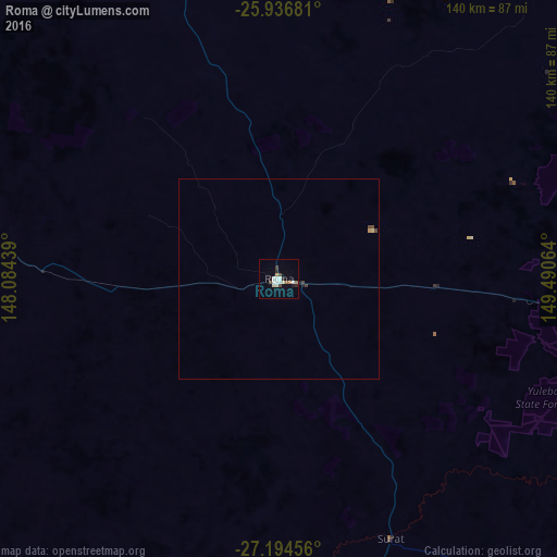
98.97%Clear (daylight) street map image can be seen on geolist.org.
Map coordinates:
25° 56' 12.5" South, 148° 5' 3.8" East
26° 34' 2.7" South, 148° 47' 15" East
27° 11' 40.4" South, 149° 29' 26.3" East
Some cities around Roma sort by population:
• Dalby
254.7 km =158.3 mi,  105°
105°
• Kingaroy
303.3 km =188.5 mi,  89°
89°
• Highfields
329.1 km =204.5 mi, 107°
• Chinchilla
184 km =114.3 mi,  95°
95°
• Goondiwindi
266.2 km =165.4 mi,  145°
145°
• Glenvale
327 km =203.2 mi, 109°
• Biloela
297.3 km =184.7 mi,  35°
35°
• Wilsonton
328.3 km =204 mi, 109°
2151187 (p: 7,105)
Sources (retrieved 2019-11-25):
» Earth at Night: Flat Maps 2012, 2016