Kingaroy night lights from space
Night Light of Kingaroy (Queensland) from space (Australia) Src. Average luminocity for 10x10km area is 10.7386% and for 50x50km: 0.6123%.
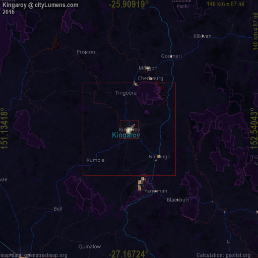
Analysis of Kingaroy night lights 2016
Square area 10x10 km:
 0.95%
0.95%90-99
0.76%80-89
0.57%70-79
0.19%60-69
6.63%50-59
0.57%40-49
0.95%30-39
2.27%20-29
1.7%10-19
0.76%0-9
84.66%Square area 50x50 km:
0.04%90-99
0.03%80-89
0.02%70-79
0.01%60-69
0.36%50-59
0.02%40-49
0.13%30-39
0.15%20-29
0.13%10-19
0.03%0-9
99.07%Clear (daylight) street map image can be seen on geolist.org.
Map coordinates:
25° 54' 33.1" South, 151° 8' 3" East
26° 32' 23.8" South, 151° 50' 14.3" East
27° 10' 2.1" South, 152° 32' 25.5" East
Some cities around Kingaroy sort by population:
• Dalby
91.4 km =56.8 mi,  218°
218°
• Nambour
112 km =69.6 mi,  94°
94°
• Gympie
91.2 km =56.7 mi,  64°
64°
• Newtown
113.4 km =70.5 mi,  175°
175°
• Highfields
103.3 km =64.2 mi,  173°
173°
• Wilsonton
111.8 km =69.5 mi, 175°
• Southside
88.6 km =55.1 mi,  65°
65°
• Palmwoods
112.9 km =70.2 mi,  98°
98°
2161376 (p: 10,064)
Sources (retrieved 2019-11-25):
» Earth at Night: Flat Maps 2012, 2016