Dalby night lights from space
Night Light of Dalby (Queensland) from space (Australia) Src. Average luminocity for 10x10km area is 15.4318% and for 50x50km: 0.6677%.
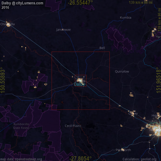
Analysis of Dalby night lights 2016
Square area 10x10 km:
 1.14%
1.14%90-99
1.14%80-89
0.76%70-79
0.76%60-69
8.33%50-59
1.52%40-49
2.08%30-39
2.84%20-29
0.76%10-19
3.41%0-9
77.27%Square area 50x50 km:
0.05%90-99
0.05%80-89
0.03%70-79
0.03%60-69
0.33%50-59
0.09%40-49
0.08%30-39
0.11%20-29
0.03%10-19
0.14%0-9
99.06%Clear (daylight) street map image can be seen on geolist.org.
Map coordinates:
26° 33' 16.1" South, 150° 33' 32.1" East
27° 10' 54.1" South, 151° 15' 43.4" East
27° 48' 19.4" South, 151° 57' 54.6" East
Some cities around Dalby sort by population:
• Toowoomba
80.3 km =49.9 mi,  121°
121°
• Newtown
78.2 km =48.6 mi, 122°
• Harristown
79.9 km =49.6 mi, 123°
• Highfields
75.2 km =46.7 mi,  114°
114°
• Chinchilla
79.8 km =49.6 mi,  308°
308°
• Glenvale
75.7 km =47 mi, 124°
• Wilsonton
76.1 km =47.3 mi, 121°
• South Toowoomba
80.3 km =49.9 mi, 122°
2169535 (p: 12,650)
Sources (retrieved 2019-11-25):
» Earth at Night: Flat Maps 2012, 2016