Port Lincoln night lights from space
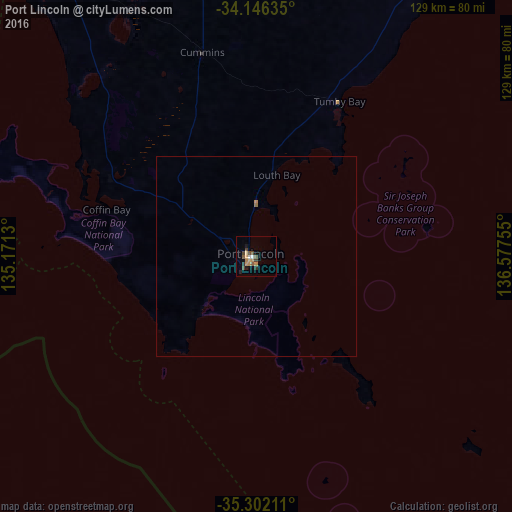
Night Light of Port Lincoln (South Australia) from space (Australia) Src. Average luminocity for 10x10km area is 11.4762% and for 50x50km: 0.5089%.
Analysis of Port Lincoln night lights 2016
Square area 10x10 km:
 0.18%
0.18%90-99
1.28%80-89
1.28%70-79
2.56%60-69
2.01%50-59
2.56%40-49
2.75%30-39
1.28%20-29
2.2%10-19
1.47%0-9
82.42%Square area 50x50 km:
0.01%90-99
0.05%80-89
0.05%70-79
0.11%60-69
0.11%50-59
0.11%40-49
0.11%30-39
0.05%20-29
0.08%10-19
0.06%0-9
99.26%Clear (daylight) street map image can be seen on geolist.org.
Map coordinates:
34° 8' 46.9" South, 135° 10' 16.7" East
34° 43' 34.5" South, 135° 52' 27.9" East
35° 18' 7.6" South, 136° 34' 39.2" East
Some cities around Port Lincoln sort by population:
• Seaton
242 km =150.4 mi,  94°
94°
• Glenelg North
242.7 km =150.8 mi,  96°
96°
• Fulham Gardens
241.8 km =150.2 mi, 94°
• Henley Beach
240.1 km =149.2 mi, 95°
• Grange
239.6 km =148.9 mi, 94°
• West Lakes
239.8 km =149 mi, 93°
• North Haven
239.2 km =148.6 mi, 91°
• Christies Beach
241.2 km =149.9 mi, 100°
2063036 (p: 13,810)
Sources (retrieved 2019-11-25):
» Earth at Night: Flat Maps 2012, 2016