Parmelia night lights from space
Night Light of Parmelia (Western Australia) from space (Australia) Src. Average luminocity for 10x10km area is 56.9286% and for 50x50km: 23.5407%.
Analysis of Parmelia night lights 2016
Square area 10x10 km:
 8.79%
8.79%90-99
7.69%80-89
5.49%70-79
4.21%60-69
22.53%50-59
13%40-49
10.26%30-39
8.79%20-29
8.61%10-19
10.26%0-9
0.37%Square area 50x50 km:
3.56%90-99
3.89%80-89
2.59%70-79
3.18%60-69
5.91%50-59
4.29%40-49
2.94%30-39
2.96%20-29
4.92%10-19
9.51%0-9
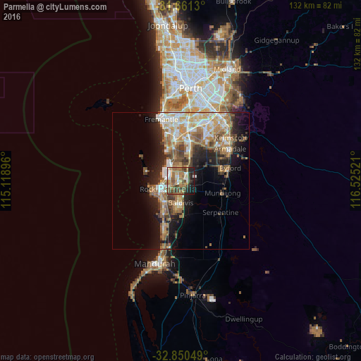
56.25%Clear (daylight) street map image can be seen on geolist.org.
Map coordinates:
31° 39' 40.7" South, 115° 7' 8.3" East
32° 15' 28.2" South, 115° 49' 19.5" East
32° 51' 1.8" South, 116° 31' 30.8" East
Some cities around Parmelia sort by population:
• Rockingham
8.9 km =5.5 mi,  256°
256°
• Baldivis
7.9 km =4.9 mi,  174°
174°
• Kwinana
4.9 km =3 mi,  308°
308°
• Rockingham city centre
8.7 km =5.4 mi,  250°
250°
• Waikiki
9.1 km =5.7 mi,  224°
224°
• Wellard
1.4 km =0.9 mi,  132°
132°
• Cooloongup
7.6 km =4.7 mi,  213°
213°
• Bertram
2.7 km =1.7 mi,  54°
54°
10056976 (p: 5,888)
Sources (retrieved 2019-11-25):
» Earth at Night: Flat Maps 2012, 2016