Kwinana night lights from space
Night Light of Kwinana (Western Australia) from space (Australia) Src. Average luminocity for 10x10km area is 62.5403% and for 50x50km: 25.6292%.
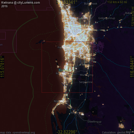
Analysis of Kwinana night lights 2016
Square area 10x10 km:
 12.64%
90-99
10.99%80-89
5.13%70-79
4.95%60-69
23.08%50-59
12.27%40-49
9.52%30-39
3.66%20-29
14.47%10-19
3.3%0-9
0%Square area 50x50 km:
3.94%90-99
4.5%80-89
3%70-79
3.93%60-69
6.3%50-59
4.47%40-49
3.15%30-39
2.96%20-29
5.13%10-19
8.21%0-9
54.4%Clear (daylight) street map image can be seen on geolist.org.
Map coordinates:
31° 38' 0.3" South, 115° 4' 41.4" East
32° 13' 48.5" South, 115° 46' 52.6" East
32° 49' 22.7" South, 116° 29' 3.9" East
Some cities around Kwinana sort by population:
• Rockingham
7.1 km =4.4 mi,  223°
223°
• Rockingham city centre
7.4 km =4.6 mi, 215°
• Waikiki
9.9 km =6.2 mi,  194°
194°
• Wellard
6.4 km =4 mi,  129°
129°
• Safety Bay
9.1 km =5.7 mi,  203°
203°
• Cooloongup
9.4 km =5.8 mi,  182°
182°
• Bertram
6.2 km =3.9 mi,  103°
103°
• Parmelia
4.9 km =3 mi, 128°
2068079 (p: 30,433)
Sources (retrieved 2019-11-25):
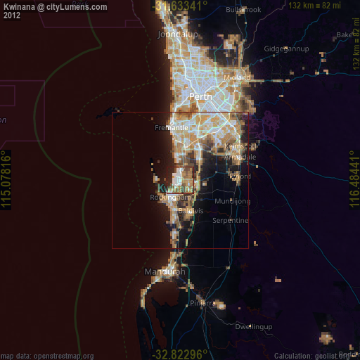
» Earth at Night: Flat Maps 2012, 2016