North Mackay night lights from space
Night Light of North Mackay (Queensland) from space (Australia) Src. Average luminocity for 10x10km area is 61.4028% and for 50x50km: 5.6917%.
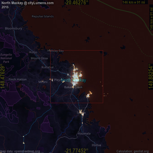
Analysis of North Mackay night lights 2016
Square area 10x10 km:
 16.07%
90-99
19.64%80-89
3.77%70-79
5.36%60-69
4.17%50-59
6.55%40-49
7.34%30-39
8.33%20-29
22.62%10-19
6.15%0-9
0%Square area 50x50 km:
1.06%90-99
1.39%80-89
0.3%70-79
0.48%60-69
0.4%50-59
0.55%40-49
0.87%30-39
0.66%20-29
1.72%10-19
3.88%0-9
88.68%Clear (daylight) street map image can be seen on geolist.org.
Map coordinates:
20° 27' 45.9" South, 148° 28' 34.6" East
21° 7' 12.3" South, 149° 10' 45.9" East
21° 46' 28.3" South, 149° 52' 57.1" East
Some cities around North Mackay sort by population:
• Mackay
4 km =2.5 mi,  201°
201°
• Andergrove
4.1 km =2.5 mi,  5°
5°
• South Mackay
4.8 km =3 mi,  182°
182°
• West Mackay
4.3 km =2.7 mi,  205°
205°
• Cannonvale
106.3 km =66.1 mi,  331°
331°
• Sarina
33.5 km =20.8 mi,  173°
173°
• Red Hill
113.9 km =70.8 mi,  321°
321°
• Beaconsfield
3.5 km =2.2 mi,  335°
335°
2154917 (p: 5,742)
Sources (retrieved 2019-11-25):
» Earth at Night: Flat Maps 2012, 2016