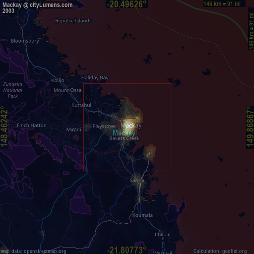
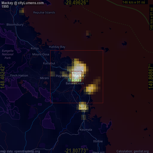
Mackay night lights from space
Night Light of Mackay (Queensland) from space (Australia) Src. Average luminocity for 10x10km area is 60.0278% and for 50x50km: 5.5951%.

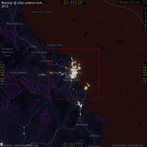
Analysis of Mackay night lights 2016
Square area 10x10 km:
 18.45%
90-99
21.43%80-89
3.37%70-79
2.58%60-69
2.38%50-59
2.58%40-49
6.94%30-39
7.54%20-29
19.05%10-19
15.48%0-9
0.2%Square area 50x50 km:
1.04%90-99
1.37%80-89
0.29%70-79
0.47%60-69
0.4%50-59
0.54%40-49
0.89%30-39
0.62%20-29
1.69%10-19
3.81%0-9
88.89%Clear (daylight) street map image can be seen on geolist.org.
Map coordinates:
20° 29' 46.5" South, 148° 27' 44.7" East
21° 9' 12.4" South, 149° 9' 55.9" East
21° 48' 27.8" South, 149° 52' 7.2" East
Some cities around Mackay sort by population:
• Andergrove
8 km =5 mi,  13°
13°
• South Mackay
1.6 km =1 mi,  130°
130°
• West Mackay
0.4 km =0.2 mi,  250°
250°
• Cannonvale
108.9 km =67.7 mi,  333°
333°
• North Mackay
4 km =2.5 mi,  21°
21°
• Sarina
30 km =18.6 mi,  169°
169°
• Red Hill
116 km =72.1 mi,  323°
323°
• Beaconsfield
6.9 km =4.3 mi,  359°
359°
2159220 (p: 74,219)
Sources (retrieved 2019-11-25):
» NASA, Earths city lights 1995
» NASA city lights 2003
» Earth at Night: Flat Maps 2012, 2016