Red Hill night lights from space
Night Light of Red Hill (Queensland) from space (Australia) Src. Average luminocity for 10x10km area is 0% and for 50x50km: 0.6745%.
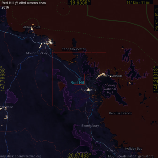
Analysis of Red Hill night lights 2016
Square area 10x10 km:
 0%
0%90-99
0%80-89
0%70-79
0%60-69
0%50-59
0%40-49
0%30-39
0%20-29
0%10-19
0%0-9
100%Square area 50x50 km:
0.02%90-99
0.06%80-89
0.18%70-79
0.08%60-69
0.14%50-59
0.1%40-49
0.15%30-39
0.1%20-29
0%10-19
0%0-9
99.17%Clear (daylight) street map image can be seen on geolist.org.
Map coordinates:
19° 39' 21.2" South, 147° 47' 48.8" East
20° 19' 0" South, 148° 30' 0" East
20° 58' 28.7" South, 149° 12' 11.3" East
Some cities around Red Hill sort by population:
• Mackay
116 km =72.1 mi,  143°
143°
• Bowen
42.8 km =26.6 mi,  321°
321°
• Andergrove
111 km =69 mi, 140°
• South Mackay
117.5 km =73 mi, 143°
• West Mackay
115.8 km =72 mi, 143°
• Cannonvale
21.1 km =13.1 mi,  77°
77°
• North Mackay
113.9 km =70.8 mi, 141°
• Beaconsfield
110.5 km =68.7 mi, 141°
2151905 (p: 5,406)
Sources (retrieved 2019-11-25):
» Earth at Night: Flat Maps 2012, 2016