Cannonvale night lights from space
Night Light of Cannonvale (Queensland) from space (Australia) Src. Average luminocity for 10x10km area is 12.5397% and for 50x50km: 0.7317%.
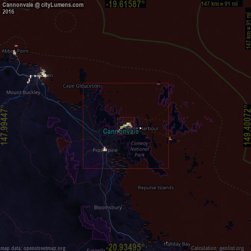
Analysis of Cannonvale night lights 2016
Square area 10x10 km:
 0.6%
0.6%90-99
0.99%80-89
3.37%70-79
1.39%60-69
2.58%50-59
2.38%40-49
2.18%30-39
1.59%20-29
0%10-19
0%0-9
84.92%Square area 50x50 km:
0.02%90-99
0.06%80-89
0.21%70-79
0.08%60-69
0.14%50-59
0.09%40-49
0.15%30-39
0.09%20-29
0.06%10-19
0%0-9
99.08%Clear (daylight) street map image can be seen on geolist.org.
Map coordinates:
19° 36' 57.1" South, 147° 59' 40.1" East
20° 16' 36.5" South, 148° 41' 51.3" East
20° 56' 5.8" South, 149° 24' 2.6" East
Some cities around Cannonvale sort by population:
• Mackay
108.9 km =67.7 mi,  153°
153°
• Bowen
55.3 km =34.4 mi,  301°
301°
• Andergrove
102.9 km =63.9 mi, 150°
• South Mackay
110.4 km =68.6 mi, 153°
• West Mackay
108.9 km =67.7 mi, 153°
• North Mackay
106.3 km =66.1 mi, 151°
• Red Hill
21.1 km =13.1 mi,  257°
257°
• Beaconsfield
102.8 km =63.9 mi, 151°
2172477 (p: 6,107)
Sources (retrieved 2019-11-25):
» Earth at Night: Flat Maps 2012, 2016