Dianella night lights from space
Night Light of Dianella (Western Australia) from space (Australia) Src. Average luminocity for 10x10km area is 95.8388% and for 50x50km: 40.1671%.
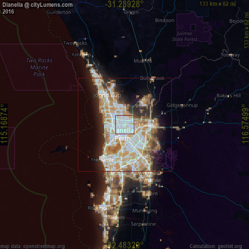
Analysis of Dianella night lights 2016
Square area 10x10 km:
 43.41%
90-99
42.12%80-89
8.06%70-79
4.58%60-69
1.65%50-59
0%40-49
0.18%30-39
0%20-29
0%10-19
0%0-9
0%Square area 50x50 km:
9.24%90-99
10.13%80-89
4.65%70-79
6.32%60-69
7.1%50-59
4.06%40-49
2.69%30-39
3.31%20-29
6.15%10-19
8.44%0-9
37.91%Clear (daylight) street map image can be seen on geolist.org.
Map coordinates:
31° 17' 21.4" South, 115° 10' 7.5" East
31° 53' 17.6" South, 115° 52' 18.7" East
32° 28' 59.8" South, 116° 34' 30" East
Some cities around Dianella sort by population:
• Morley
3.6 km =2.2 mi,  89°
89°
• Nollamara
2.7 km =1.7 mi,  289°
289°
• Yokine
2.3 km =1.4 mi,  230°
230°
• Mirrabooka
3.2 km =2 mi,  349°
349°
• Noranda
3.1 km =1.9 mi,  57°
57°
• Tuart Hill
3.7 km =2.3 mi,  252°
252°
• Inglewood
3.2 km =2 mi,  166°
166°
• Bedford
3 km =1.9 mi,  147°
147°
8349051 (p: 23,034)
Sources (retrieved 2019-11-25):
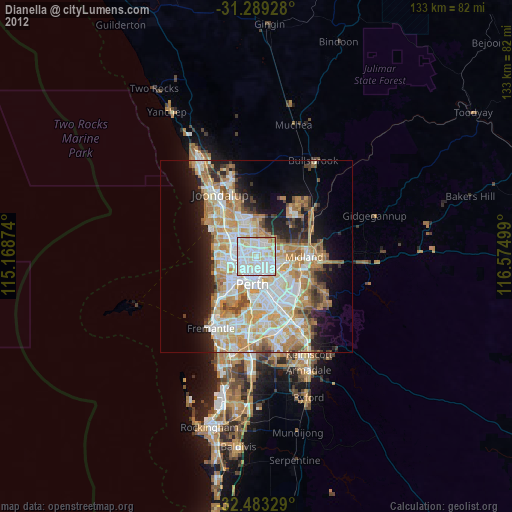
» Earth at Night: Flat Maps 2012, 2016