Elermore Vale night lights from space
Night Light of Elermore Vale (New South Wales) from space (Australia) Src. Average luminocity for 10x10km area is 67.3462% and for 50x50km: 15.5535%.
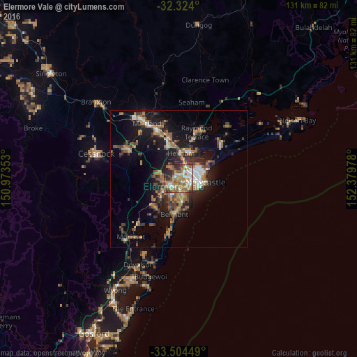
Analysis of Elermore Vale night lights 2016
Square area 10x10 km:
 12.09%
90-99
13.19%80-89
3.85%70-79
14.84%60-69
23.26%50-59
11.17%40-49
6.23%30-39
7.69%20-29
6.96%10-19
0.73%0-9
0%Square area 50x50 km:
1.51%90-99
1.78%80-89
0.55%70-79
2.5%60-69
4.4%50-59
2.22%40-49
2.2%30-39
3.51%20-29
3.92%10-19
10.73%0-9
66.68%Clear (daylight) street map image can be seen on geolist.org.
Map coordinates:
32° 19' 26.4" South, 150° 58' 24.7" East
32° 54' 58.4" South, 151° 40' 35.9" East
33° 30' 16.2" South, 152° 22' 47.2" East
Some cities around Elermore Vale sort by population:
• Wallsend
2 km =1.2 mi,  325°
325°
• Charlestown
6 km =3.7 mi,  165°
165°
• New Lambton
3.3 km =2.1 mi,  114°
114°
• Mayfield
5.9 km =3.7 mi,  69°
69°
• Maryland
4.4 km =2.7 mi,  341°
341°
• Edgeworth
5.7 km =3.5 mi,  260°
260°
• Adamstown
5.2 km =3.2 mi,  118°
118°
• Adamstown Heights
4.8 km =3 mi,  139°
139°
10103846 (p: 5,417)
Sources (retrieved 2019-11-25):
» Earth at Night: Flat Maps 2012, 2016