Wallsend night lights from space
Night Light of Wallsend (New South Wales) from space (Australia) Src. Average luminocity for 10x10km area is 56.0934% and for 50x50km: 15.5843%.
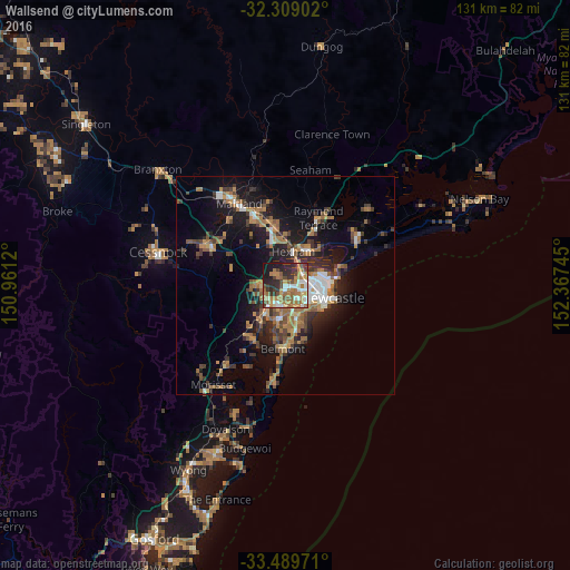
Analysis of Wallsend night lights 2016
Square area 10x10 km:
 7.14%
7.14%90-99
9.71%80-89
2.38%70-79
10.99%60-69
21.43%50-59
7.14%40-49
8.97%30-39
8.97%20-29
14.1%10-19
9.16%0-9
0%Square area 50x50 km:
1.51%90-99
1.78%80-89
0.55%70-79
2.5%60-69
4.4%50-59
2.18%40-49
2.21%30-39
3.55%20-29
3.9%10-19
10.83%0-9
66.6%Clear (daylight) street map image can be seen on geolist.org.
Map coordinates:
32° 18' 32.5" South, 150° 57' 40.3" East
32° 54' 4.8" South, 151° 39' 51.6" East
33° 29' 23" South, 152° 22' 2.8" East
Some cities around Wallsend sort by population:
• New Lambton
5.1 km =3.2 mi,  126°
126°
• Mayfield
6.7 km =4.2 mi,  86°
86°
• Cameron Park
5.5 km =3.4 mi,  263°
263°
• Maryland
2.5 km =1.6 mi,  353°
353°
• Edgeworth
5.2 km =3.2 mi,  239°
239°
• Elermore Vale
2 km =1.2 mi,  145°
145°
• Adamstown Heights
6.8 km =4.2 mi,  141°
141°
• Fletcher
3.9 km =2.4 mi,  324°
324°
2144890 (p: 12,344)
Sources (retrieved 2019-11-25):
» Earth at Night: Flat Maps 2012, 2016