Nambucca night lights from space
Night Light of Nambucca (New South Wales) from space (Australia) Src. Average luminocity for 10x10km area is 3.5944% and for 50x50km: 0.3243%.
Analysis of Nambucca night lights 2016
Square area 10x10 km:
 0%
0%90-99
0%80-89
0%70-79
0.7%60-69
0%50-59
1.4%40-49
1.92%30-39
2.27%20-29
0.7%10-19
0.7%0-9
92.31%Square area 50x50 km:
0%90-99
0%80-89
0%70-79
0.07%60-69
0.01%50-59
0.06%40-49
0.11%30-39
0.29%20-29
0.09%10-19
0.1%0-9
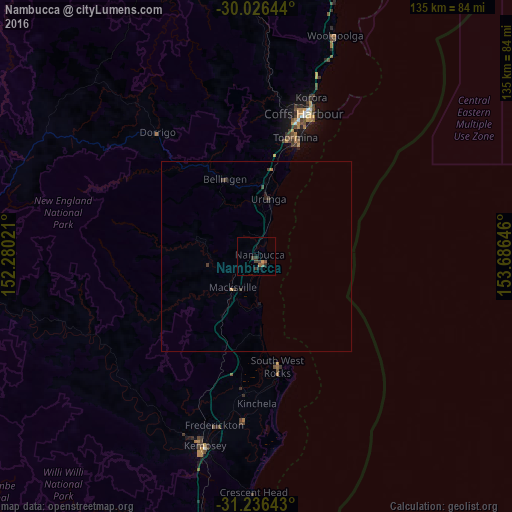
99.27%Clear (daylight) street map image can be seen on geolist.org.
Map coordinates:
30° 1' 35.2" South, 152° 16' 48.8" East
30° 37' 60" South, 152° 58' 60" East
31° 14' 11.1" South, 153° 41' 11.3" East
Some cities around Nambucca sort by population:
• Port Macquarie
89 km =55.3 mi,  184°
184°
• Coffs Harbour
39.5 km =24.5 mi,  18°
18°
• Kempsey
51.6 km =32.1 mi,  196°
196°
• Wauchope
94.9 km =59 mi,  194°
194°
• Toormina
32.7 km =20.3 mi, 17°
• South Grafton
103.1 km =64.1 mi,  356°
356°
• Woolgoolga
61.8 km =38.4 mi, 19°
• Boambee East
33 km =20.5 mi, 15°
2155859 (p: 6,137)
Sources (retrieved 2019-11-25):
» Earth at Night: Flat Maps 2012, 2016