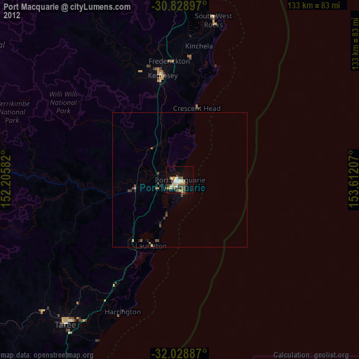
Port Macquarie night lights from space
Night Light of Port Macquarie (New South Wales) from space (Australia) Src. Average luminocity for 10x10km area is 25.979% and for 50x50km: 1.7036%.
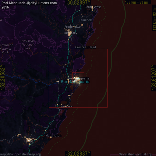
Analysis of Port Macquarie night lights 2016
Square area 10x10 km:
 3.5%
3.5%90-99
3.85%80-89
1.05%70-79
7.34%60-69
3.5%50-59
3.5%40-49
2.8%30-39
4.2%20-29
3.32%10-19
20.1%0-9
46.85%Square area 50x50 km:
0.15%90-99
0.16%80-89
0.07%70-79
0.43%60-69
0.34%50-59
0.2%40-49
0.14%30-39
0.34%20-29
0.35%10-19
1.23%0-9
96.6%Clear (daylight) street map image can be seen on geolist.org.
Map coordinates:
30° 49' 44.3" South, 152° 12' 21" East
31° 25' 51" South, 152° 54' 32.2" East
32° 1' 43.9" South, 153° 36' 43.5" East
Some cities around Port Macquarie sort by population:
• Taree
68.6 km =42.6 mi,  218°
218°
• Forster
91.3 km =56.7 mi,  203°
203°
• Kempsey
39.8 km =24.7 mi,  349°
349°
• Nambucca Heads
88.1 km =54.7 mi,  6°
6°
• Tuncurry
91.3 km =56.7 mi,  205°
205°
• Wauchope
17.6 km =10.9 mi,  260°
260°
• Nambucca
89 km =55.3 mi,  4°
4°
• Wingham
70.4 km =43.7 mi,  226°
226°
2152659 (p: 45,692)
Sources (retrieved 2019-11-25):
» Earth at Night: Flat Maps 2012, 2016