Kempsey night lights from space
Night Light of Kempsey (New South Wales) from space (Australia) Src. Average luminocity for 10x10km area is 10.8388% and for 50x50km: 0.7291%.
Analysis of Kempsey night lights 2016
Square area 10x10 km:
 0%
0%90-99
0.73%80-89
0.37%70-79
3.11%60-69
2.38%50-59
0.55%40-49
2.75%30-39
4.76%20-29
1.65%10-19
3.3%0-9
80.4%Square area 50x50 km:
0%90-99
0.03%80-89
0.01%70-79
0.15%60-69
0.16%50-59
0.16%40-49
0.19%30-39
0.36%20-29
0.15%10-19
0.16%0-9
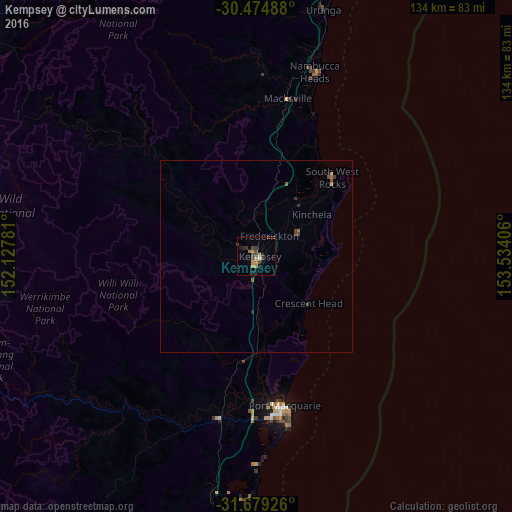
98.63%Clear (daylight) street map image can be seen on geolist.org.
Map coordinates:
30° 28' 29.6" South, 152° 7' 40.1" East
31° 4' 44.3" South, 152° 49' 51.3" East
31° 40' 45.3" South, 153° 32' 2.6" East
Some cities around Kempsey sort by population:
• Port Macquarie
39.8 km =24.7 mi,  169°
169°
• Coffs Harbour
91.1 km =56.6 mi,  17°
17°
• Nambucca Heads
51.3 km =31.9 mi, 19°
• Wauchope
43.3 km =26.9 mi,  193°
193°
• Toormina
84.3 km =52.4 mi, 16°
• Nambucca
51.6 km =32.1 mi, 16°
• Wingham
97.9 km =60.8 mi,  206°
206°
• Boambee East
84.7 km =52.6 mi, 15°
2161658 (p: 9,522)
Sources (retrieved 2019-11-25):
» Earth at Night: Flat Maps 2012, 2016