South Grafton night lights from space
Night Light of South Grafton (New South Wales) from space (Australia) Src. Average luminocity for 10x10km area is 12.4365% and for 50x50km: 0.5048%.
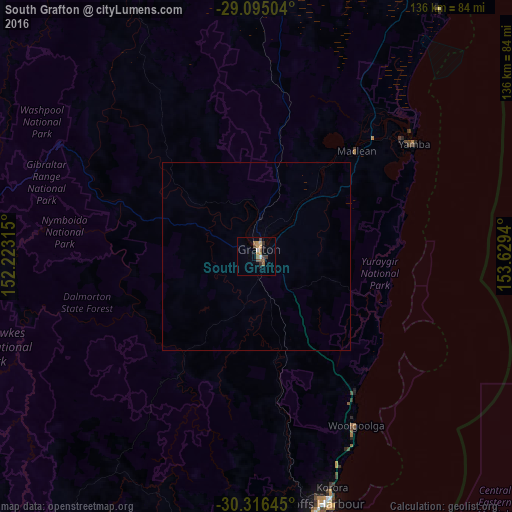
Analysis of South Grafton night lights 2016
Square area 10x10 km:
 0.99%
0.99%90-99
0.6%80-89
0.79%70-79
2.58%60-69
2.78%50-59
3.57%40-49
2.18%30-39
2.38%20-29
0.79%10-19
2.18%0-9
81.15%Square area 50x50 km:
0.04%90-99
0.02%80-89
0.03%70-79
0.1%60-69
0.11%50-59
0.14%40-49
0.08%30-39
0.09%20-29
0.03%10-19
0.11%0-9
99.25%Clear (daylight) street map image can be seen on geolist.org.
Map coordinates:
29° 5' 42.1" South, 152° 13' 23.3" East
29° 42' 27.4" South, 152° 55' 34.6" East
30° 18' 59.2" South, 153° 37' 45.8" East
Some cities around South Grafton sort by population:
• Coffs Harbour
67.9 km =42.2 mi,  164°
164°
• Casino
95.2 km =59.2 mi,  7°
7°
• Grafton
3 km =1.9 mi, 14°
• Yamba
51.5 km =32 mi,  54°
54°
• Toormina
73.5 km =45.7 mi,  167°
167°
• Nambucca
103.1 km =64.1 mi,  176°
176°
• Woolgoolga
52 km =32.3 mi,  149°
149°
• Boambee East
72.4 km =45 mi, 168°
2148997 (p: 6,164)
Sources (retrieved 2019-11-25):
» Earth at Night: Flat Maps 2012, 2016