Coffs Harbour night lights from space
Night Light of Coffs Harbour (New South Wales) from space (Australia) Src. Average luminocity for 10x10km area is 28.8516% and for 50x50km: 2.0498%.
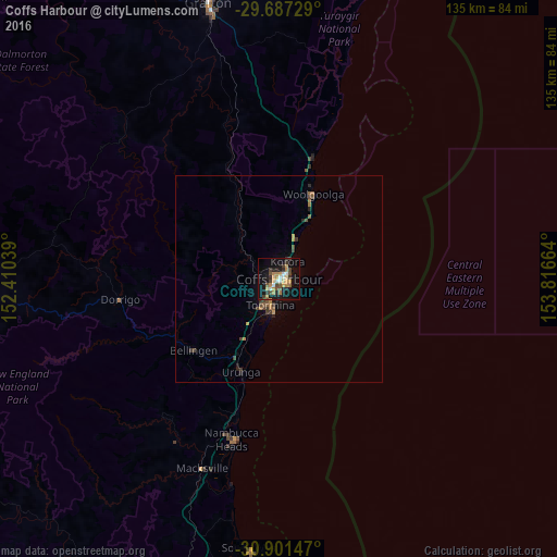
Analysis of Coffs Harbour night lights 2016
Square area 10x10 km:
 2.56%
2.56%90-99
3.3%80-89
1.47%70-79
6.78%60-69
6.41%50-59
2.56%40-49
5.49%30-39
4.76%20-29
4.95%10-19
31.14%0-9
30.59%Square area 50x50 km:
0.1%90-99
0.13%80-89
0.06%70-79
0.42%60-69
0.46%50-59
0.25%40-49
0.5%30-39
0.56%20-29
0.36%10-19
1.53%0-9
95.62%Clear (daylight) street map image can be seen on geolist.org.
Map coordinates:
29° 41' 14.2" South, 152° 24' 37.4" East
30° 17' 46.5" South, 153° 6' 48.6" East
30° 54' 5.3" South, 153° 48' 59.9" East
Some cities around Coffs Harbour sort by population:
• Grafton
70.6 km =43.9 mi,  345°
345°
• Kempsey
91.1 km =56.6 mi,  197°
197°
• Nambucca Heads
39.9 km =24.8 mi,  194°
194°
• Toormina
6.8 km =4.2 mi, 200°
• South Grafton
67.9 km =42.2 mi,  344°
344°
• Nambucca
39.5 km =24.5 mi, 198°
• Woolgoolga
22.3 km =13.9 mi,  22°
22°
• Boambee East
6.8 km =4.2 mi,  214°
214°
2171085 (p: 26,672)
Sources (retrieved 2019-11-25):
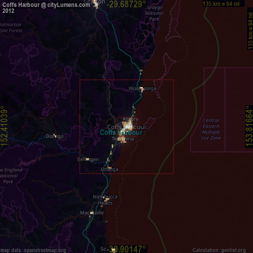
» Earth at Night: Flat Maps 2012, 2016