Muswellbrook night lights from space
Night Light of Muswellbrook (New South Wales) from space (Australia) Src. Average luminocity for 10x10km area is 14.4469% and for 50x50km: 4.5054%.
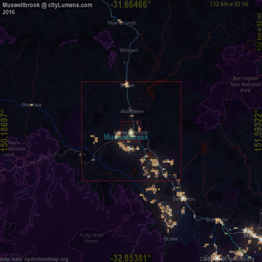
Analysis of Muswellbrook night lights 2016
Square area 10x10 km:
 0.18%
0.18%90-99
1.1%80-89
0.18%70-79
1.65%60-69
6.41%50-59
0.37%40-49
1.28%30-39
4.21%20-29
2.2%10-19
17.22%0-9
65.2%Square area 50x50 km:
0.18%90-99
0.23%80-89
0.03%70-79
0.89%60-69
1.58%50-59
0.55%40-49
0.61%30-39
1.12%20-29
0.83%10-19
3.99%0-9
89.98%Clear (daylight) street map image can be seen on geolist.org.
Map coordinates:
31° 39' 52.8" South, 150° 11' 13.1" East
32° 15' 40.2" South, 150° 53' 24.3" East
32° 51' 13.7" South, 151° 35' 35.6" East
Some cities around Muswellbrook sort by population:
• Maitland
81.7 km =50.8 mi,  129°
129°
• Cessnock
77.1 km =47.9 mi,  145°
145°
• Rutherford
78.8 km =49 mi, 130°
• East Maitland
84.7 km =52.6 mi, 129°
• Kurri Kurri
83.1 km =51.6 mi,  138°
138°
• Scone
23.5 km =14.6 mi,  355°
355°
• Aberglasslyn
77.6 km =48.2 mi, 128°
• Singleton
42.8 km =26.6 mi, 142°
2156034 (p: 12,135)
Sources (retrieved 2019-11-25):
» Earth at Night: Flat Maps 2012, 2016