Morley night lights from space
Night Light of Morley (Western Australia) from space (Australia) Src. Average luminocity for 10x10km area is 87.3425% and for 50x50km: 40.2874%.
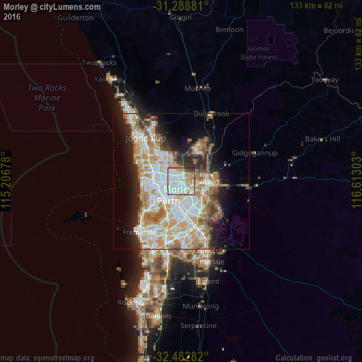
Analysis of Morley night lights 2016
Square area 10x10 km:
 30.95%
90-99
30.77%80-89
8.24%70-79
14.65%60-69
8.79%50-59
1.47%40-49
2.75%30-39
2.38%20-29
0%10-19
0%0-9
0%Square area 50x50 km:
9.24%90-99
10.13%80-89
4.65%70-79
6.32%60-69
7.12%50-59
4.17%40-49
2.72%30-39
3.34%20-29
6.18%10-19
8.44%0-9
37.68%Clear (daylight) street map image can be seen on geolist.org.
Map coordinates:
31° 17' 19.7" South, 115° 12' 24.4" East
31° 53' 15.9" South, 115° 54' 35.6" East
32° 28' 58.2" South, 116° 36' 46.9" East
Some cities around Morley sort by population:
• Dianella
3.6 km =2.2 mi,  269°
269°
• Bayswater
3.3 km =2.1 mi,  167°
167°
• Bassendean
4 km =2.5 mi,  126°
126°
• Beechboro
3.6 km =2.2 mi,  45°
45°
• Noranda
1.9 km =1.2 mi,  327°
327°
• Inglewood
4.3 km =2.7 mi,  221°
221°
• Bedford
3.3 km =2.1 mi, 216°
• Bennett Springs
4.6 km =2.9 mi, 46°
8349083 (p: 21,134)
Sources (retrieved 2019-11-25):
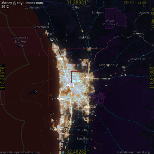
» Earth at Night: Flat Maps 2012, 2016