Inglewood night lights from space
Night Light of Inglewood (Western Australia) from space (Australia) Src. Average luminocity for 10x10km area is 96.5402% and for 50x50km: 41.8016%.
Analysis of Inglewood night lights 2016
Square area 10x10 km:
 45.28%
90-99
42.13%80-89
9.62%70-79
2.8%60-69
0.17%50-59
0%40-49
0%30-39
0%20-29
0%10-19
0%0-9
0%Square area 50x50 km:
9.53%90-99
10.47%80-89
4.86%70-79
6.63%60-69
7.73%50-59
4.41%40-49
2.89%30-39
3.26%20-29
6%10-19
8.32%0-9
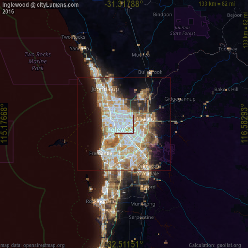
35.9%Clear (daylight) street map image can be seen on geolist.org.
Map coordinates:
31° 19' 4.4" South, 115° 10' 36" East
31° 54' 59.9" South, 115° 52' 47.3" East
32° 30' 41.4" South, 116° 34' 58.5" East
Some cities around Inglewood sort by population:
• Dianella
3.2 km =2 mi,  346°
346°
• Bayswater
3.6 km =2.2 mi,  90°
90°
• Maylands
2.1 km =1.3 mi,  138°
138°
• Yokine
3 km =1.9 mi,  304°
304°
• Mount Lawley
2.1 km =1.3 mi,  201°
201°
• North Perth
2.8 km =1.7 mi,  245°
245°
• Mount Hawthorn
4.2 km =2.6 mi,  264°
264°
• Bedford
1.1 km =0.7 mi,  56°
56°
8349408 (p: 5,529)
Sources (retrieved 2019-11-25):
» Earth at Night: Flat Maps 2012, 2016