Mooroolbark night lights from space
Night Light of Mooroolbark (Victoria) from space (Australia) Src. Average luminocity for 10x10km area is 48.2177% and for 50x50km: 28.3698%.
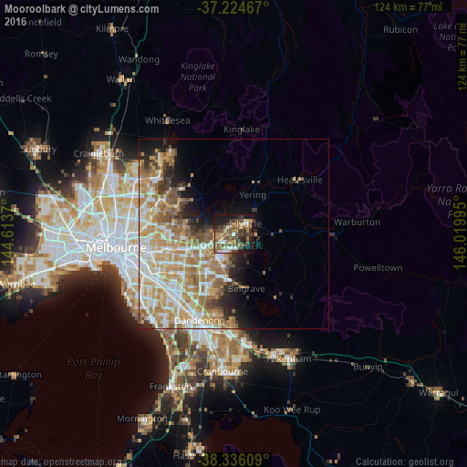
Analysis of Mooroolbark night lights 2016
Square area 10x10 km:
 4.08%
4.08%90-99
5.44%80-89
3.23%70-79
7.99%60-69
11.56%50-59
14.46%40-49
12.93%30-39
11.56%20-29
10.54%10-19
17.01%0-9
1.19%Square area 50x50 km:
4.75%90-99
6.13%80-89
3.31%70-79
6.42%60-69
6.1%50-59
4.18%40-49
2.83%30-39
2.06%20-29
3.32%10-19
5.16%0-9
55.73%Clear (daylight) street map image can be seen on geolist.org.
Map coordinates:
37° 13' 28.8" South, 144° 36' 49.3" East
37° 46' 56.9" South, 145° 19' 0.6" East
38° 20' 9.9" South, 146° 1' 11.8" East
Some cities around Mooroolbark sort by population:
• Croydon
3.5 km =2.2 mi,  236°
236°
• Lilydale
4.6 km =2.9 mi,  38°
38°
• Kilsyth
1.9 km =1.2 mi,  180°
180°
• Chirnside Park
4.9 km =3 mi,  357°
357°
• Mount Evelyn
5.8 km =3.6 mi,  90°
90°
• Bayswater North
5.1 km =3.2 mi,  198°
198°
• Croydon North
2.8 km =1.7 mi,  306°
306°
• Montrose
4.8 km =3 mi,  142°
142°
2156977 (p: 21,503)
Sources (retrieved 2019-11-25):
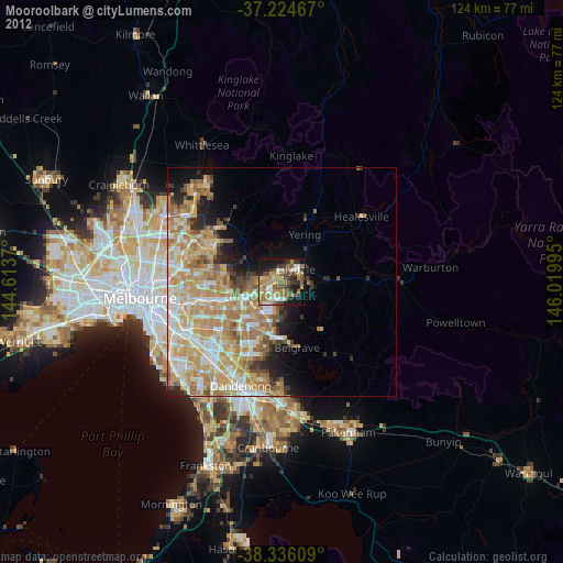
» Earth at Night: Flat Maps 2012, 2016