Miranda night lights from space
Night Light of Miranda (New South Wales) from space (Australia) Src. Average luminocity for 10x10km area is 53.4528% and for 50x50km: 34.635%.
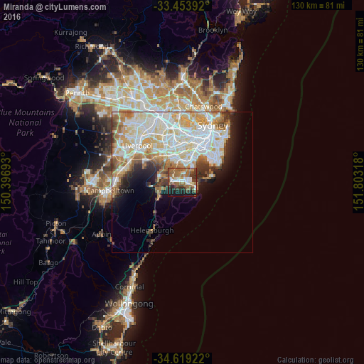
Analysis of Miranda night lights 2016
Square area 10x10 km:
 8.39%
8.39%90-99
6.99%80-89
4.02%70-79
4.37%60-69
19.23%50-59
16.43%40-49
4.9%30-39
10.66%20-29
7.87%10-19
17.13%0-9
0%Square area 50x50 km:
9.57%90-99
9.69%80-89
4.59%70-79
4.58%60-69
4.41%50-59
3.11%40-49
1.98%30-39
2.68%20-29
3.35%10-19
5.56%0-9
50.48%Clear (daylight) street map image can be seen on geolist.org.
Map coordinates:
33° 27' 14.1" South, 150° 23' 48.9" East
34° 2' 18.9" South, 151° 6' 0.2" East
34° 37' 9.2" South, 151° 48' 11.4" East
Some cities around Miranda sort by population:
• Caringbah South
2.8 km =1.7 mi,  135°
135°
• Caringbah
2.3 km =1.4 mi,  81°
81°
• Sutherland
4.2 km =2.6 mi,  281°
281°
• Sylvania
2.9 km =1.8 mi,  354°
354°
• Kirrawee
2.9 km =1.8 mi,  270°
270°
• Gymea
1.4 km =0.9 mi, 280°
• Gymea Bay
1.9 km =1.2 mi,  216°
216°
• Jannali
4.4 km =2.7 mi,  304°
304°
2157495 (p: 15,111)
Sources (retrieved 2019-11-25):
» Earth at Night: Flat Maps 2012, 2016