Caringbah South night lights from space
Night Light of Caringbah South (New South Wales) from space (Australia) Src. Average luminocity for 10x10km area is 41.2552% and for 50x50km: 30.4816%.
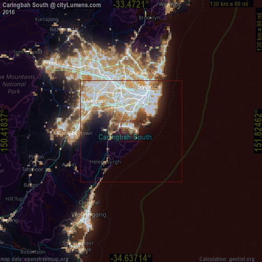
Analysis of Caringbah South night lights 2016
Square area 10x10 km:
 7.34%
7.34%90-99
5.24%80-89
3.32%70-79
2.27%60-69
12.59%50-59
7.52%40-49
4.37%30-39
11.54%20-29
9.09%10-19
21.5%0-9
15.21%Square area 50x50 km:
8.69%90-99
8.61%80-89
3.97%70-79
3.82%60-69
3.69%50-59
2.51%40-49
1.67%30-39
2.38%20-29
3.18%10-19
5.22%0-9
56.27%Clear (daylight) street map image can be seen on geolist.org.
Map coordinates:
33° 28' 19.6" South, 150° 25' 6.1" East
34° 3' 23.8" South, 151° 7' 17.4" East
34° 38' 13.7" South, 151° 49' 28.6" East
Some cities around Caringbah South sort by population:
• Cronulla
2.7 km =1.7 mi,  104°
104°
• Miranda
2.8 km =1.7 mi,  315°
315°
• Sutherland
6.7 km =4.2 mi,  295°
295°
• Sylvania
5.4 km =3.4 mi,  335°
335°
• Kirrawee
5.2 km =3.2 mi,  292°
292°
• Gymea
4 km =2.5 mi, 304°
• Gymea Bay
3.1 km =1.9 mi,  279°
279°
• Jannali
7.2 km =4.5 mi,  308°
308°
9972625 (p: 12,020)
Sources (retrieved 2019-11-25):
» Earth at Night: Flat Maps 2012, 2016