Marrickville night lights from space
Night Light of Marrickville (New South Wales) from space (Australia) Src. Average luminocity for 10x10km area is 96.6556% and for 50x50km: 46.124%.
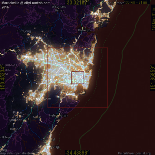
Analysis of Marrickville night lights 2016
Square area 10x10 km:
 54.02%
90-99
32.17%80-89
12.24%70-79
1.57%60-69
0%50-59
0%40-49
0%30-39
0%20-29
0%10-19
0%0-9
0%Square area 50x50 km:
11.39%90-99
12.37%80-89
6.41%70-79
7.15%60-69
7.82%50-59
3.95%40-49
2.57%30-39
3.28%20-29
4.74%10-19
6.8%0-9
33.51%Clear (daylight) street map image can be seen on geolist.org.
Map coordinates:
33° 19' 18.7" South, 150° 27' 8.4" East
33° 54' 26.7" South, 151° 9' 19.7" East
34° 29' 20.3" South, 151° 51' 30.9" East
Some cities around Marrickville sort by population:
• Newtown
2.3 km =1.4 mi,  63°
63°
• Leichhardt
2.7 km =1.7 mi,  1°
1°
• Dulwich Hill
1.5 km =0.9 mi,  283°
283°
• Camperdown
2.8 km =1.7 mi,  44°
44°
• Petersham
1.4 km =0.9 mi,  358°
358°
• Stanmore
1.7 km =1.1 mi,  28°
28°
• Summer Hill
2.4 km =1.5 mi,  318°
318°
• Wolli Creek
2.7 km =1.7 mi,  186°
186°
2158626 (p: 26,140)
Sources (retrieved 2019-11-25):
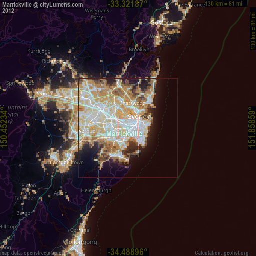
» Earth at Night: Flat Maps 2012, 2016