Beenleigh night lights from space
Night Light of Beenleigh (Queensland) from space (Australia) Src. Average luminocity for 10x10km area is 57.5377% and for 50x50km: 29.7961%.
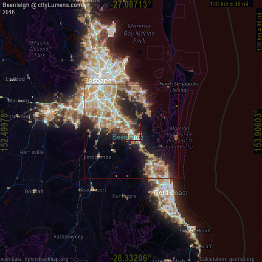
Analysis of Beenleigh night lights 2016
Square area 10x10 km:
 9.13%
9.13%90-99
10.52%80-89
5.16%70-79
2.98%60-69
26.59%50-59
4.96%40-49
6.55%30-39
9.33%20-29
17.46%10-19
7.34%0-9
0%Square area 50x50 km:
4.33%90-99
4.98%80-89
3.56%70-79
4.64%60-69
9.79%50-59
2.83%40-49
3.11%30-39
3.65%20-29
5.76%10-19
11.11%0-9
46.26%Clear (daylight) street map image can be seen on geolist.org.
Map coordinates:
27° 5' 13.7" South, 152° 29' 59.2" East
27° 42' 40.9" South, 153° 12' 10.4" East
28° 19' 55.4" South, 153° 54' 21.7" East
Some cities around Beenleigh sort by population:
• Ormeau
7.4 km =4.6 mi,  148°
148°
• Eagleby
3.4 km =2.1 mi,  23°
23°
• Shailer Park
7.3 km =4.5 mi,  339°
339°
• Cornubia
5.2 km =3.2 mi, 15°
• Waterford West
7.2 km =4.5 mi,  288°
288°
• Loganholme
3.4 km =2.1 mi,  331°
331°
• Mount Warren Park
2.2 km =1.4 mi,  173°
173°
• Edens Landing
3.4 km =2.1 mi, 286°
2176412 (p: 8,171)
Sources (retrieved 2019-11-25):
» Earth at Night: Flat Maps 2012, 2016