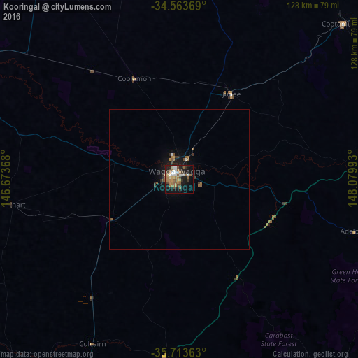
Kooringal night lights from space
Night Light of Kooringal (New South Wales) from space (Australia) Src. Average luminocity for 10x10km area is 37.8724% and for 50x50km: 2.3848%.
Analysis of Kooringal night lights 2016
Square area 10x10 km:
 5.77%
5.77%90-99
6.12%80-89
1.57%70-79
2.1%60-69
14.34%50-59
6.47%40-49
5.59%30-39
3.15%20-29
6.64%10-19
30.42%0-9
17.83%Square area 50x50 km:
0.26%90-99
0.27%80-89
0.06%70-79
0.15%60-69
0.74%50-59
0.46%40-49
0.36%30-39
0.32%20-29
0.43%10-19
2.29%0-9
94.65%Clear (daylight) street map image can be seen on geolist.org.
Map coordinates:
34° 33' 49.3" South, 146° 40' 25.2" East
35° 8' 26.5" South, 147° 22' 36.5" East
35° 42' 49.1" South, 148° 4' 47.7" East
Some cities around Kooringal sort by population:
• Lavington
107.5 km =66.8 mi,  201°
201°
• Thurgoona
105.4 km =65.5 mi, 199°
• Wagga Wagga
2.7 km =1.7 mi,  308°
308°
• Cootamundra
81.4 km =50.6 mi,  46°
46°
• Tumut
78.6 km =48.8 mi,  103°
103°
• North Albury
109.6 km =68.1 mi, 201°
• Lake Albert
2.9 km =1.8 mi,  168°
168°
• Glenfield Park
4 km =2.5 mi,  275°
275°
8348139 (p: 6,972)
Sources (retrieved 2019-11-25):
» Earth at Night: Flat Maps 2012, 2016