Palmwoods night lights from space
Night Light of Palmwoods (Queensland) from space (Australia) Src. Average luminocity for 10x10km area is 12.0568% and for 50x50km: 8.8354%.
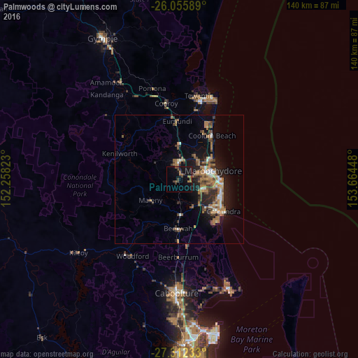
Analysis of Palmwoods night lights 2016
Square area 10x10 km:
 0%
0%90-99
0%80-89
0%70-79
0%60-69
5.11%50-59
2.27%40-49
2.46%30-39
3.79%20-29
0.95%10-19
18.56%0-9
66.86%Square area 50x50 km:
0.65%90-99
0.9%80-89
0.53%70-79
0.52%60-69
3.53%50-59
1.22%40-49
1.57%30-39
1.37%20-29
2.28%10-19
6.55%0-9
80.86%Clear (daylight) street map image can be seen on geolist.org.
Map coordinates:
26° 3' 21.2" South, 152° 15' 29.6" East
26° 41' 9" South, 152° 57' 40.9" East
27° 18' 44.4" South, 153° 39' 52.1" East
Some cities around Palmwoods sort by population:
• Buderim
9.5 km =5.9 mi,  89°
89°
• Maroochydore
14 km =8.7 mi,  78°
78°
• Nambour
6.6 km =4.1 mi,  358°
358°
• Mountain Creek
14 km =8.7 mi,  97°
97°
• Sippy Downs
9.9 km =6.2 mi,  111°
111°
• Little Mountain
17 km =10.6 mi,  130°
130°
• Mooloolaba
15.7 km =9.8 mi, 88°
• Bli Bli
10.7 km =6.6 mi,  44°
44°
2153887 (p: 5,575)
Sources (retrieved 2019-11-25):
» Earth at Night: Flat Maps 2012, 2016