Wingham night lights from space
Night Light of Wingham (New South Wales) from space (Australia) Src. Average luminocity for 10x10km area is 2.8993% and for 50x50km: 0.829%.
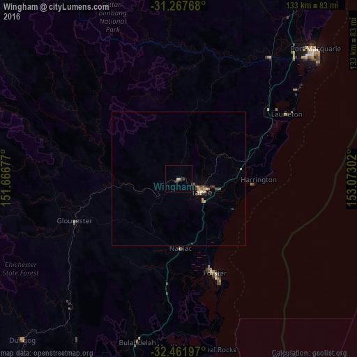
Analysis of Wingham night lights 2016
Square area 10x10 km:
 0%
0%90-99
0%80-89
0%70-79
1.47%60-69
0%50-59
0%40-49
0.73%30-39
1.83%20-29
0%10-19
0.73%0-9
95.24%Square area 50x50 km:
0.04%90-99
0.05%80-89
0.02%70-79
0.22%60-69
0.16%50-59
0.11%40-49
0.19%30-39
0.21%20-29
0.12%10-19
0.1%0-9
98.78%Clear (daylight) street map image can be seen on geolist.org.
Map coordinates:
31° 16' 3.6" South, 151° 40' 0.4" East
31° 52' 0.3" South, 152° 22' 11.6" East
32° 27' 43.1" South, 153° 4' 22.9" East
Some cities around Wingham sort by population:
• Port Macquarie
70.4 km =43.7 mi,  46°
46°
• Taree
9.3 km =5.8 mi,  121°
121°
• Forster
37.6 km =23.4 mi,  158°
158°
• Kempsey
97.9 km =60.8 mi,  26°
26°
• Tuncurry
36.3 km =22.6 mi, 160°
• Wauchope
56.6 km =35.2 mi,  36°
36°
• Nelson Bay
97.3 km =60.5 mi,  192°
192°
• Corlette
98 km =60.9 mi, 194°
2143380 (p: 5,329)
Sources (retrieved 2019-11-25):
» Earth at Night: Flat Maps 2012, 2016