Kelmscott night lights from space
Night Light of Kelmscott (Western Australia) from space (Australia) Src. Average luminocity for 10x10km area is 47.4196% and for 50x50km: 33.143%.
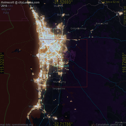
Analysis of Kelmscott night lights 2016
Square area 10x10 km:
 4.9%
4.9%90-99
6.29%80-89
4.37%70-79
6.29%60-69
19.93%50-59
8.04%40-49
7.17%30-39
5.94%20-29
10.31%10-19
17.66%0-9
9.09%Square area 50x50 km:
7.3%90-99
7.75%80-89
3.91%70-79
4.93%60-69
7.1%50-59
4.48%40-49
3.27%30-39
2.92%20-29
3.1%10-19
4.98%0-9
50.25%Clear (daylight) street map image can be seen on geolist.org.
Map coordinates:
31° 31' 36.9" South, 115° 19' 22" East
32° 7' 27.6" South, 116° 1' 33.2" East
32° 43' 4.3" South, 116° 43' 44.5" East
Some cities around Kelmscott sort by population:
• Gosnells
5.2 km =3.2 mi,  338°
338°
• Armadale
2.9 km =1.8 mi,  212°
212°
• Maddington
9.2 km =5.7 mi,  334°
334°
• Southern River
6.6 km =4.1 mi,  287°
287°
• Seville Grove
3.7 km =2.3 mi,  248°
248°
• Harrisdale
8.6 km =5.3 mi,  280°
280°
• Huntingdale
7.3 km =4.5 mi,  309°
309°
• Roleystone
4.3 km =2.7 mi,  75°
75°
2068594 (p: 10,278)
Sources (retrieved 2019-11-25):
» Earth at Night: Flat Maps 2012, 2016