Armadale night lights from space
Night Light of Armadale (Western Australia) from space (Australia) Src. Average luminocity for 10x10km area is 48.4406% and for 50x50km: 32.2305%.
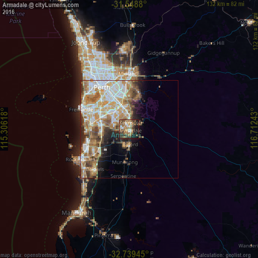
Analysis of Armadale night lights 2016
Square area 10x10 km:
 5.24%
5.24%90-99
4.72%80-89
4.2%70-79
5.07%60-69
19.76%50-59
10.49%40-49
9.44%30-39
9.27%20-29
10.84%10-19
19.06%0-9
1.92%Square area 50x50 km:
6.59%90-99
6.97%80-89
3.95%70-79
4.75%60-69
7.26%50-59
4.62%40-49
3.57%30-39
3.15%20-29
4.04%10-19
5.21%0-9
49.9%Clear (daylight) street map image can be seen on geolist.org.
Map coordinates:
31° 32' 55.7" South, 115° 18' 22.2" East
32° 8' 45.9" South, 116° 0' 33.5" East
32° 44' 22" South, 116° 42' 44.7" East
Some cities around Armadale sort by population:
• Gosnells
7.2 km =4.5 mi,  357°
357°
• Byford
8.3 km =5.2 mi,  180°
180°
• Kelmscott
2.9 km =1.8 mi,  32°
32°
• Southern River
6.5 km =4 mi,  312°
312°
• Seville Grove
2.2 km =1.4 mi,  299°
299°
• Harrisdale
8 km =5 mi, 299°
• Huntingdale
8.1 km =5 mi,  329°
329°
• Roleystone
6.8 km =4.2 mi,  58°
58°
2077579 (p: 13,427)
Sources (retrieved 2019-11-25):
» Earth at Night: Flat Maps 2012, 2016