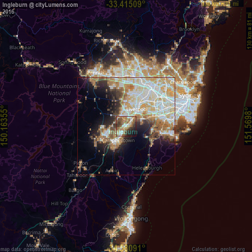
Ingleburn night lights from space
Night Light of Ingleburn (New South Wales) from space (Australia) Src. Average luminocity for 10x10km area is 59.3042% and for 50x50km: 37.0212%.
Analysis of Ingleburn night lights 2016
Square area 10x10 km:
 8.57%
8.57%90-99
9.62%80-89
7.69%70-79
9.27%60-69
16.78%50-59
15.21%40-49
5.24%30-39
9.27%20-29
8.57%10-19
8.04%0-9
1.75%Square area 50x50 km:
8.17%90-99
9.26%80-89
5.27%70-79
5.32%60-69
6.13%50-59
3.92%40-49
2.76%30-39
3.69%20-29
4.47%10-19
7.6%0-9
43.4%Clear (daylight) street map image can be seen on geolist.org.
Map coordinates:
33° 24' 54.3" South, 150° 9' 48.8" East
34° 0' 0" South, 150° 52' 0" East
34° 34' 51.3" South, 151° 34' 11.3" East
Some cities around Ingleburn sort by population:
• Casula
6.1 km =3.8 mi,  29°
29°
• Macquarie Fields
2.6 km =1.6 mi,  70°
70°
• Minto
4 km =2.5 mi,  202°
202°
• Leumeah
6.4 km =4 mi,  208°
208°
• Glenfield
4.8 km =3 mi,  39°
39°
• Raby
5 km =3.1 mi,  245°
245°
• Eagle Vale
6.4 km =4 mi,  229°
229°
• St Andrews
4.2 km =2.6 mi, 233°
2162733 (p: 14,994)
Sources (retrieved 2019-11-25):
» Earth at Night: Flat Maps 2012, 2016