Wattle Grove night lights from space
Night Light of Wattle Grove (Western Australia) from space (Australia) Src. Average luminocity for 10x10km area is 68.5472% and for 50x50km: 41.6587%.
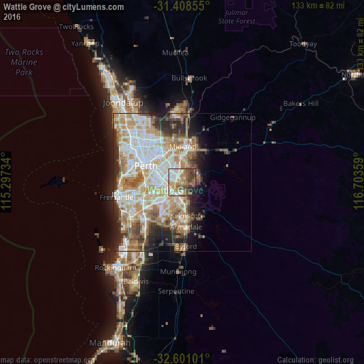
Analysis of Wattle Grove night lights 2016
Square area 10x10 km:
 16.61%
90-99
13.29%80-89
6.12%70-79
9.44%60-69
15.73%50-59
14.69%40-49
9.62%30-39
8.04%20-29
4.2%10-19
2.27%0-9
0%Square area 50x50 km:
9.35%90-99
10.13%80-89
4.77%70-79
6.45%60-69
8.41%50-59
4.81%40-49
3.6%30-39
3.73%20-29
6.27%10-19
5.86%0-9
36.62%Clear (daylight) street map image can be seen on geolist.org.
Map coordinates:
31° 24' 30.8" South, 115° 17' 50.4" East
32° 0' 24.2" South, 116° 0' 1.7" East
32° 36' 3.6" South, 116° 42' 12.9" East
Some cities around Wattle Grove sort by population:
• Forrestfield
2.7 km =1.7 mi,  12°
12°
• Maddington
5.1 km =3.2 mi,  198°
198°
• Lesmurdie
4.5 km =2.8 mi,  83°
83°
• Beckenham
4.3 km =2.7 mi,  242°
242°
• Kewdale
5.6 km =3.5 mi,  303°
303°
• Queens Park
5.1 km =3.2 mi,  274°
274°
• Kenwick
4.3 km =2.7 mi,  227°
227°
• East Cannington
4.3 km =2.7 mi, 265°
8349283 (p: 5,906)
Sources (retrieved 2019-11-25):
» Earth at Night: Flat Maps 2012, 2016