Glenroy night lights from space
Night Light of Glenroy (Victoria) from space (Australia) Src. Average luminocity for 10x10km area is 87.415% and for 50x50km: 49.0967%.
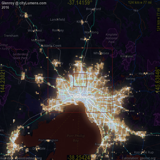
Analysis of Glenroy night lights 2016
Square area 10x10 km:
 25.17%
90-99
23.3%80-89
22.28%70-79
20.07%60-69
7.48%50-59
1.36%40-49
0.34%30-39
0%20-29
0%10-19
0%0-9
0%Square area 50x50 km:
13.61%90-99
12.15%80-89
6.27%70-79
8.02%60-69
6.54%50-59
4.2%40-49
3.53%30-39
3.53%20-29
5.5%10-19
8.13%0-9
28.53%Clear (daylight) street map image can be seen on geolist.org.
Map coordinates:
37° 8' 29.7" South, 144° 13' 48.8" East
37° 42' 0" South, 144° 55' 60" East
38° 15' 15.3" South, 145° 38' 11.3" East
Some cities around Glenroy sort by population:
• Pascoe Vale
3.7 km =2.3 mi,  180°
180°
• Fawkner
3.5 km =2.2 mi,  122°
122°
• Broadmeadows
2.6 km =1.6 mi,  329°
329°
• Strathmore
4.1 km =2.5 mi,  195°
195°
• Coburg North
4 km =2.5 mi,  142°
142°
• Dallas
3.2 km =2 mi,  3°
3°
• Oak Park
2.4 km =1.5 mi,  210°
210°
• Hadfield
1.1 km =0.7 mi, 138°
2165200 (p: 22,127)
Sources (retrieved 2019-11-25):
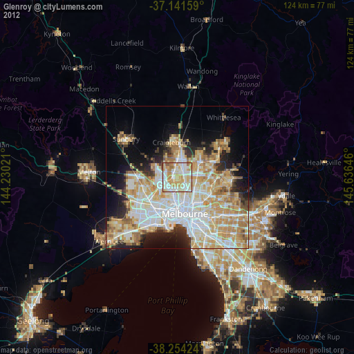
» Earth at Night: Flat Maps 2012, 2016