Strathmore night lights from space
Night Light of Strathmore (Victoria) from space (Australia) Src. Average luminocity for 10x10km area is 91.6922% and for 50x50km: 52.01%.
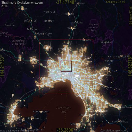
Analysis of Strathmore night lights 2016
Square area 10x10 km:
 32.65%
90-99
27.89%80-89
24.15%70-79
15.14%60-69
0.17%50-59
0%40-49
0%30-39
0%20-29
0%10-19
0%0-9
0%Square area 50x50 km:
14.35%90-99
12.84%80-89
6.72%70-79
8.78%60-69
6.73%50-59
4.16%40-49
3.53%30-39
3.65%20-29
6.12%10-19
9.46%0-9
23.67%Clear (daylight) street map image can be seen on geolist.org.
Map coordinates:
37° 10' 38.9" South, 144° 13' 3.1" East
37° 44' 8.3" South, 144° 55' 14.3" East
38° 17' 22.6" South, 145° 37' 25.6" East
Some cities around Strathmore sort by population:
• Essendon
1.8 km =1.1 mi,  208°
208°
• Pascoe Vale
1.1 km =0.7 mi,  77°
77°
• Moonee Ponds
3.5 km =2.2 mi,  185°
185°
• Pascoe Vale South
2.3 km =1.4 mi,  101°
101°
• Coburg North
3.7 km =2.3 mi, 77°
• Oak Park
1.9 km =1.2 mi,  356°
356°
• Hadfield
3.7 km =2.3 mi,  30°
30°
• Niddrie
2.5 km =1.6 mi,  265°
265°
11695439 (p: 8,227)
Sources (retrieved 2019-11-25):
» Earth at Night: Flat Maps 2012, 2016