Gawler night lights from space
Night Light of Gawler (South Australia) from space (Australia) Src. Average luminocity for 10x10km area is 22.7185% and for 50x50km: 11.6904%.
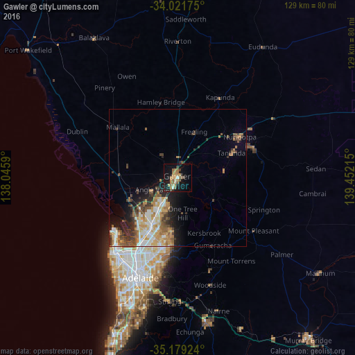
Analysis of Gawler night lights 2016
Square area 10x10 km:
 0.7%
0.7%90-99
1.4%80-89
1.4%70-79
5.07%60-69
6.99%50-59
6.64%40-49
0.87%30-39
2.62%20-29
1.22%10-19
26.92%0-9
46.15%Square area 50x50 km:
1.58%90-99
2.08%80-89
1.09%70-79
2.38%60-69
2.04%50-59
1.97%40-49
1.42%30-39
1.87%20-29
2.22%10-19
4.88%0-9
78.47%Clear (daylight) street map image can be seen on geolist.org.
Map coordinates:
34° 1' 18.3" South, 138° 2' 45.2" East
34° 36' 9" South, 138° 44' 56.5" East
35° 10' 45.3" South, 139° 27' 7.7" East
Some cities around Gawler sort by population:
• Craigmore
11.5 km =7.1 mi,  198°
198°
• Greenwith
18.4 km =11.4 mi,  190°
190°
• Andrews Farm
11.4 km =7.1 mi,  224°
224°
• Blakeview
8.9 km =5.5 mi, 203°
• Davoren Park
12.3 km =7.6 mi, 216°
• Munno Para West
9.3 km =5.8 mi, 222°
• Salisbury Heights
19.1 km =11.9 mi, 200°
• Elizabeth Downs
12 km =7.5 mi,  206°
206°
2071059 (p: 20,006)
Sources (retrieved 2019-11-25):
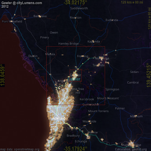
» Earth at Night: Flat Maps 2012, 2016