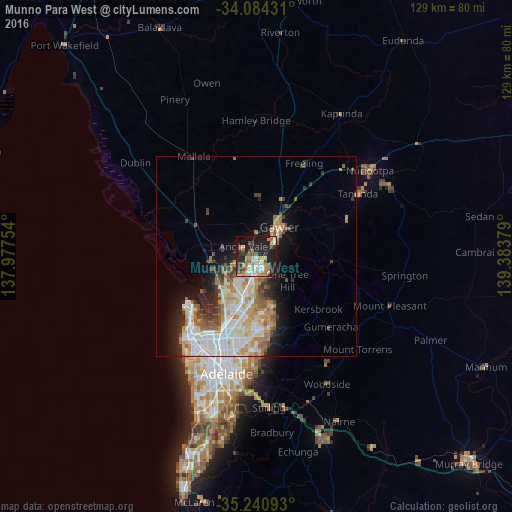
Munno Para West night lights from space
Night Light of Munno Para West (South Australia) from space (Australia) Src. Average luminocity for 10x10km area is 44.8024% and for 50x50km: 17.2273%.
Analysis of Munno Para West night lights 2016
Square area 10x10 km:
 4.9%
4.9%90-99
7.69%80-89
5.77%70-79
11.19%60-69
7.17%50-59
4.55%40-49
3.85%30-39
6.47%20-29
16.26%10-19
27.1%0-9
5.07%Square area 50x50 km:
3.52%90-99
4.08%80-89
1.89%70-79
2.96%60-69
2.29%50-59
2.03%40-49
1.43%30-39
1.88%20-29
2.89%10-19
6.17%0-9
70.85%Clear (daylight) street map image can be seen on geolist.org.
Map coordinates:
34° 5' 3.5" South, 137° 58' 39.1" East
34° 39' 52.7" South, 138° 40' 50.4" East
35° 14' 27.3" South, 139° 23' 1.6" East
Some cities around Munno Para West sort by population:
• Gawler
9.3 km =5.8 mi,  42°
42°
• Craigmore
4.8 km =3 mi,  146°
146°
• Andrews Farm
2.1 km =1.3 mi,  232°
232°
• Blakeview
3 km =1.9 mi,  114°
114°
• Davoren Park
3.1 km =1.9 mi,  200°
200°
• Burton
10.5 km =6.5 mi,  223°
223°
• Gawler East
10.5 km =6.5 mi,  45°
45°
• Elizabeth Downs
4 km =2.5 mi,  166°
166°
8348311 (p: 5,823)
Sources (retrieved 2019-11-25):
» Earth at Night: Flat Maps 2012, 2016