Ferny Grove night lights from space
Night Light of Ferny Grove (Queensland) from space (Australia) Src. Average luminocity for 10x10km area is 45.6742% and for 50x50km: 38.6851%.
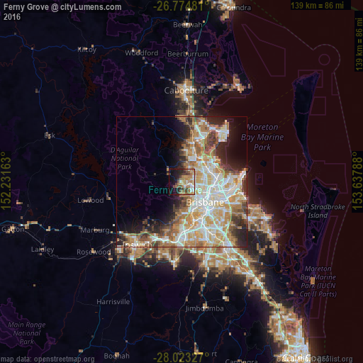
Analysis of Ferny Grove night lights 2016
Square area 10x10 km:
 5.3%
5.3%90-99
6.06%80-89
4.73%70-79
5.68%60-69
17.23%50-59
5.49%40-49
9.47%30-39
6.06%20-29
8.33%10-19
18.94%0-9
12.69%Square area 50x50 km:
8.17%90-99
8.85%80-89
5.21%70-79
5.5%60-69
9.18%50-59
3.08%40-49
3.79%30-39
3.67%20-29
5.59%10-19
7.38%0-9
39.56%Clear (daylight) street map image can be seen on geolist.org.
Map coordinates:
26° 46' 29.3" South, 152° 13' 53.9" East
27° 24' 2.9" South, 152° 56' 5.1" East
28° 1' 23.8" South, 153° 38' 16.4" East
Some cities around Ferny Grove sort by population:
• The Gap
4.6 km =2.9 mi,  175°
175°
• Everton Park
5.3 km =3.3 mi,  97°
97°
• Mitchelton
3.6 km =2.2 mi,  119°
119°
• McDowall
6 km =3.7 mi,  70°
70°
• Keperra
1.9 km =1.2 mi,  139°
139°
• Arana Hills
2.3 km =1.4 mi,  82°
82°
• Everton Hills
3.8 km =2.4 mi, 70°
• Enoggera
5 km =3.1 mi,  127°
127°
6943583 (p: 5,677)
Sources (retrieved 2019-11-25):
» Earth at Night: Flat Maps 2012, 2016