Preston night lights from space
Night Light of Preston (Victoria) from space (Australia) Src. Average luminocity for 10x10km area is 90.6003% and for 50x50km: 53.391%.
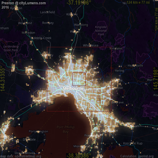
Analysis of Preston night lights 2016
Square area 10x10 km:
 28.4%
28.4%90-99
31.46%80-89
23.3%70-79
12.07%60-69
4.76%50-59
0%40-49
0%30-39
0%20-29
0%10-19
0%0-9
0%Square area 50x50 km:
14.71%90-99
13.22%80-89
6.88%70-79
9.18%60-69
7.68%50-59
4.98%40-49
3.53%30-39
3.09%20-29
5.33%10-19
7.69%0-9
23.71%Clear (daylight) street map image can be seen on geolist.org.
Map coordinates:
37° 11' 31.1" South, 144° 18' 48.8" East
37° 45' 0" South, 145° 1' 0" East
38° 18' 13.9" South, 145° 43' 11.3" East
Some cities around Preston sort by population:
• Reservoir
4 km =2.5 mi,  338°
338°
• Northcote
2.4 km =1.5 mi,  218°
218°
• Thornbury
1.3 km =0.8 mi,  226°
226°
• Ivanhoe
3.1 km =1.9 mi,  132°
132°
• Heidelberg
4.4 km =2.7 mi,  90°
90°
• Fairfield
3.3 km =2.1 mi,  178°
178°
• Heidelberg Heights
3.6 km =2.2 mi,  77°
77°
• Heidelberg West
2.4 km =1.5 mi,  60°
60°
2152558 (p: 32,499)
Sources (retrieved 2019-11-25):
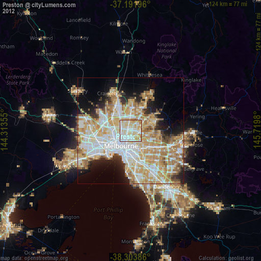
» Earth at Night: Flat Maps 2012, 2016