Epping night lights from space
Night Light of Epping (New South Wales) from space (Australia) Src. Average luminocity for 10x10km area is 80.0989% and for 50x50km: 51.7999%.
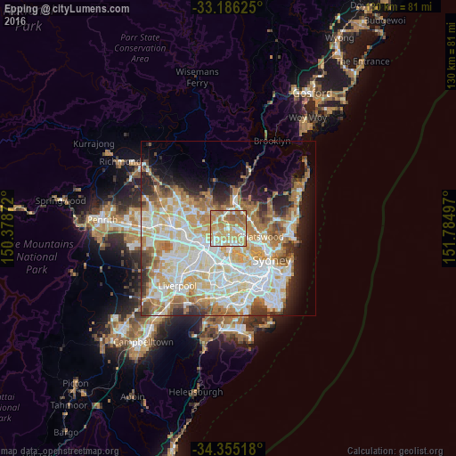
Analysis of Epping night lights 2016
Square area 10x10 km:
 11.72%
90-99
20.7%80-89
12.64%70-79
27.47%60-69
21.61%50-59
5.86%40-49
0%30-39
0%20-29
0%10-19
0%0-9
0%Square area 50x50 km:
12.36%90-99
13.84%80-89
7.11%70-79
8.43%60-69
9.03%50-59
4.46%40-49
2.92%30-39
4.1%20-29
5.1%10-19
7.18%0-9
25.47%Clear (daylight) street map image can be seen on geolist.org.
Map coordinates:
33° 11' 10.5" South, 150° 22' 43.4" East
33° 46' 21.8" South, 151° 4' 54.6" East
34° 21' 18.6" South, 151° 47' 5.9" East
Some cities around Epping sort by population:
• Carlingford
3.2 km =2 mi,  249°
249°
• Eastwood
2.1 km =1.3 mi,  183°
183°
• West Ryde
3.7 km =2.3 mi,  191°
191°
• Marsfield
2.3 km =1.4 mi,  104°
104°
• Beecroft
3 km =1.9 mi,  328°
328°
• Macquarie Park
4.3 km =2.7 mi, 102°
• Pennant Hills
4 km =2.5 mi,  347°
347°
• Dundas Valley
3.2 km =2 mi,  237°
237°
2167280 (p: 23,435)
Sources (retrieved 2019-11-25):
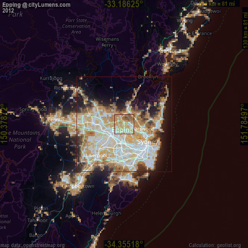
» Earth at Night: Flat Maps 2012, 2016