Carlingford night lights from space
Night Light of Carlingford (New South Wales) from space (Australia) Src. Average luminocity for 10x10km area is 82.4048% and for 50x50km: 54.6743%.
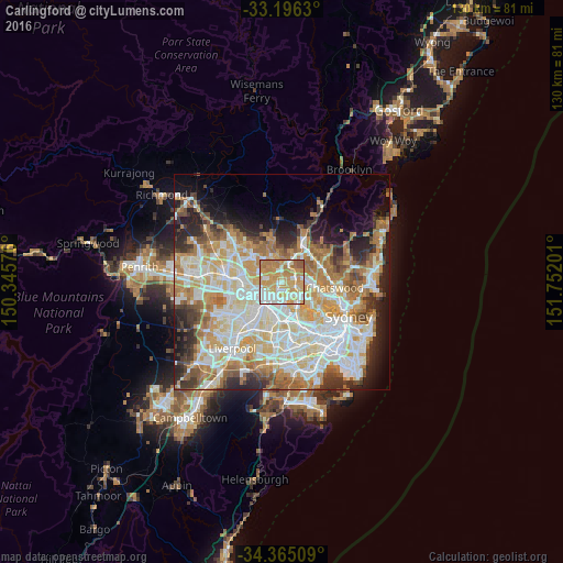
Analysis of Carlingford night lights 2016
Square area 10x10 km:
 14.84%
90-99
22.53%80-89
14.47%70-79
28.39%60-69
16.85%50-59
2.93%40-49
0%30-39
0%20-29
0%10-19
0%0-9
0%Square area 50x50 km:
12.75%90-99
14.29%80-89
7.36%70-79
8.96%60-69
9.65%50-59
4.77%40-49
3.47%30-39
4.98%20-29
6.73%10-19
7.5%0-9
19.53%Clear (daylight) street map image can be seen on geolist.org.
Map coordinates:
33° 11' 46.7" South, 150° 20' 44.7" East
33° 46' 57.7" South, 151° 2' 56" East
34° 21' 54.3" South, 151° 45' 7.2" East
Some cities around Carlingford sort by population:
• Epping
3.2 km =2 mi,  69°
69°
• Eastwood
3.1 km =1.9 mi,  109°
109°
• West Ryde
3.4 km =2.1 mi,  137°
137°
• Ermington
3.6 km =2.2 mi,  171°
171°
• North Rocks
3.2 km =2 mi,  291°
291°
• Oatlands
2.5 km =1.6 mi,  233°
233°
• Telopea
1.5 km =0.9 mi,  220°
220°
• Dundas Valley
0.7 km =0.4 mi,  150°
150°
2172303 (p: 24,131)
Sources (retrieved 2019-11-25):
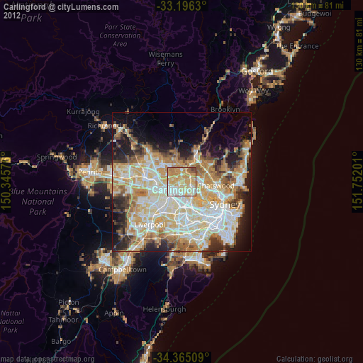
» Earth at Night: Flat Maps 2012, 2016