Cronulla night lights from space
Night Light of Cronulla (New South Wales) from space (Australia) Src. Average luminocity for 10x10km area is 30.3427% and for 50x50km: 27.1926%.
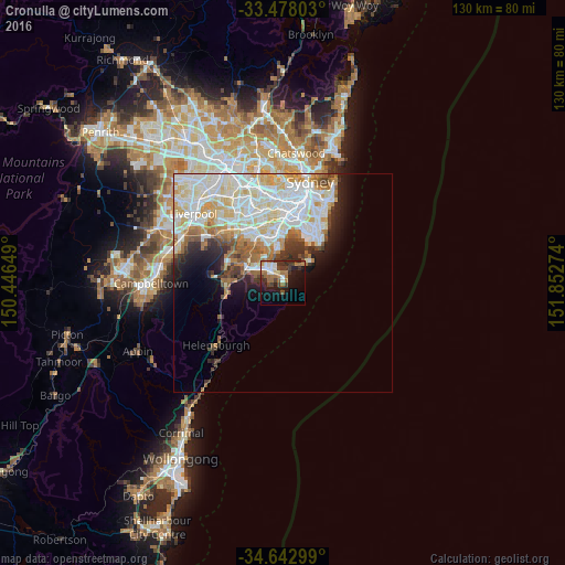
Analysis of Cronulla night lights 2016
Square area 10x10 km:
 5.77%
5.77%90-99
3.32%80-89
1.57%70-79
2.62%60-69
7.87%50-59
4.72%40-49
3.32%30-39
7.34%20-29
7.52%10-19
22.9%0-9
33.04%Square area 50x50 km:
7.97%90-99
7.85%80-89
3.53%70-79
2.95%60-69
2.99%50-59
2.28%40-49
1.57%30-39
2.23%20-29
2.88%10-19
4.8%0-9
60.95%Clear (daylight) street map image can be seen on geolist.org.
Map coordinates:
33° 28' 40.9" South, 150° 26' 47.4" East
34° 3' 45" South, 151° 8' 58.6" East
34° 38' 34.8" South, 151° 51' 9.9" East
Some cities around Cronulla sort by population:
• Miranda
5.3 km =3.3 mi,  300°
300°
• Caringbah South
2.7 km =1.7 mi,  284°
284°
• Caringbah
3.8 km =2.4 mi,  322°
322°
• Sylvania
7.4 km =4.6 mi, 319°
• Sans Souci
8.2 km =5.1 mi,  349°
349°
• Kirrawee
7.9 km =4.9 mi,  289°
289°
• Gymea
6.6 km =4.1 mi, 296°
• Gymea Bay
5.8 km =3.6 mi, 281°
2169956 (p: 17,703)
Sources (retrieved 2019-11-25):
» Earth at Night: Flat Maps 2012, 2016