Clayton night lights from space
Night Light of Clayton (Victoria) from space (Australia) Src. Average luminocity for 10x10km area is 88.8393% and for 50x50km: 49.7481%.
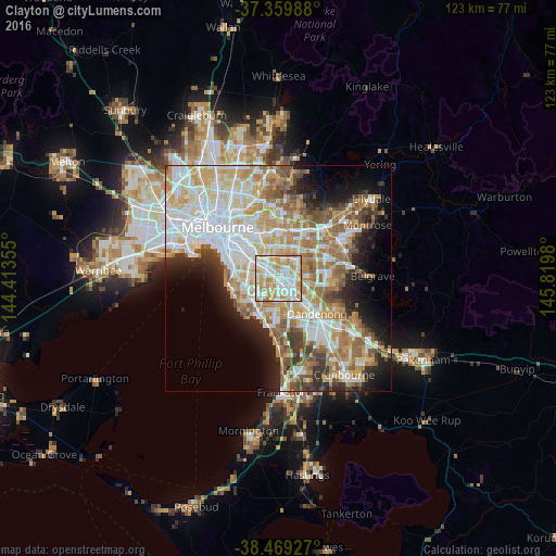
Analysis of Clayton night lights 2016
Square area 10x10 km:
 28.41%
90-99
28.08%80-89
14.45%70-79
23.38%60-69
5.68%50-59
0%40-49
0%30-39
0%20-29
0%10-19
0%0-9
0%Square area 50x50 km:
12.69%90-99
11.76%80-89
6.1%70-79
8.68%60-69
7.55%50-59
5.92%40-49
4.04%30-39
3.59%20-29
5.52%10-19
7.82%0-9
26.33%Clear (daylight) street map image can be seen on geolist.org.
Map coordinates:
37° 21' 35.6" South, 144° 24' 48.8" East
37° 55' 0" South, 145° 7' 0" East
38° 28' 9.4" South, 145° 49' 11.3" East
Some cities around Clayton sort by population:
• Mount Waverley
4.5 km =2.8 mi,  14°
14°
• Springvale
4.7 km =2.9 mi,  138°
138°
• Oakleigh South
2.4 km =1.5 mi,  249°
249°
• Chadstone
3.7 km =2.3 mi,  329°
329°
• Oakleigh
3.2 km =2 mi,  309°
309°
• Hughesdale
3.5 km =2.2 mi,  302°
302°
• Clarinda
2.9 km =1.8 mi,  205°
205°
• Oakleigh East
1.9 km =1.2 mi,  0°
0°
2171400 (p: 20,130)
Sources (retrieved 2019-11-25):
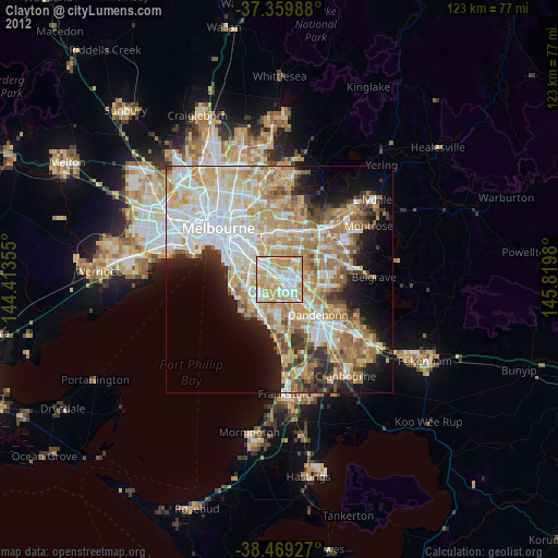
» Earth at Night: Flat Maps 2012, 2016