Chelsea Heights night lights from space
Night Light of Chelsea Heights (Victoria) from space (Australia) Src. Average luminocity for 10x10km area is 55.1006% and for 50x50km: 36.4399%.
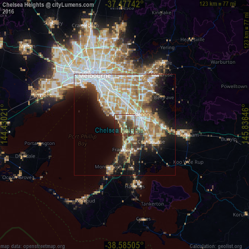
Analysis of Chelsea Heights night lights 2016
Square area 10x10 km:
 7.47%
7.47%90-99
10.23%80-89
6.01%70-79
6.82%60-69
10.23%50-59
13.8%40-49
11.85%30-39
14.29%20-29
8.12%10-19
9.58%0-9
1.62%Square area 50x50 km:
8.53%90-99
7.74%80-89
3.64%70-79
6.41%60-69
6.05%50-59
4.88%40-49
3.29%30-39
3.55%20-29
5.52%10-19
10.09%0-9
40.3%Clear (daylight) street map image can be seen on geolist.org.
Map coordinates:
37° 28' 38.7" South, 144° 25' 48.8" East
38° 1' 60" South, 145° 7' 60" East
38° 35' 6.2" South, 145° 50' 11.3" East
Some cities around Chelsea Heights sort by population:
• Keysborough
5.9 km =3.7 mi,  37°
37°
• Dingley Village
5.6 km =3.5 mi,  0°
0°
• Mordialloc
5.7 km =3.5 mi,  310°
310°
• Patterson Lakes
4.1 km =2.5 mi,  167°
167°
• Aspendale
2.7 km =1.7 mi,  279°
279°
• Aspendale Gardens
1.8 km =1.1 mi, 311°
• Bonbeach
3.7 km =2.3 mi,  194°
194°
• Edithvale
2.1 km =1.3 mi,  258°
258°
2171693 (p: 5,214)
Sources (retrieved 2019-11-25):
» Earth at Night: Flat Maps 2012, 2016