Amaroo night lights from space
Night Light of Amaroo (ACT) from space (Australia) Src. Average luminocity for 10x10km area is 44.7395% and for 50x50km: 13.357%.
Analysis of Amaroo night lights 2016
Square area 10x10 km:
 4.9%
4.9%90-99
9.09%80-89
5.59%70-79
7.87%60-69
12.06%50-59
7.69%40-49
0.52%30-39
3.85%20-29
10.66%10-19
24.65%0-9
13.11%Square area 50x50 km:
2.18%90-99
2.68%80-89
1.23%70-79
1.96%60-69
3.38%50-59
1.61%40-49
1.19%30-39
2.29%20-29
2.63%10-19
4.83%0-9
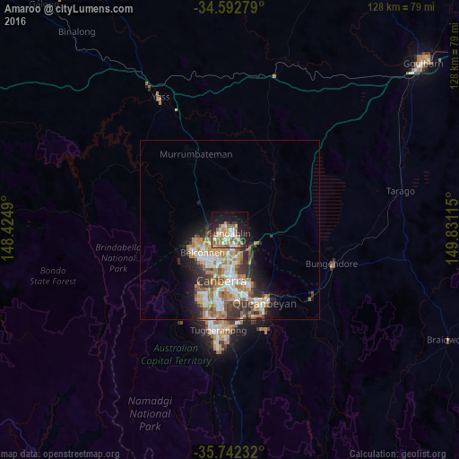
76.02%Clear (daylight) street map image can be seen on geolist.org.
Map coordinates:
34° 35' 34" South, 148° 25' 29.6" East
35° 10' 10.5" South, 149° 7' 40.9" East
35° 44' 32.4" South, 149° 49' 52.1" East
Some cities around Amaroo sort by population:
• Ngunnawal
1.5 km =0.9 mi,  256°
256°
• Harrison
4.2 km =2.6 mi,  141°
141°
• Nicholls
3.5 km =2.2 mi,  235°
235°
• Bonner
1.3 km =0.8 mi,  49°
49°
• Franklin
3.6 km =2.2 mi,  157°
157°
• Gungahlin
2 km =1.2 mi, 158°
• Casey
3 km =1.9 mi,  275°
275°
• Palmerston
2.9 km =1.8 mi,  195°
195°
8349331 (p: 5,628)
Sources (retrieved 2019-11-25):
» Earth at Night: Flat Maps 2012, 2016