Whyalla Norrie night lights from space
Night Light of Whyalla Norrie (South Australia) from space (Australia) Src. Average luminocity for 10x10km area is 34.8187% and for 50x50km: 1.8994%.
Analysis of Whyalla Norrie night lights 2016
Square area 10x10 km:
 4.95%
4.95%90-99
4.58%80-89
3.85%70-79
7.51%60-69
9.34%50-59
3.3%40-49
2.75%30-39
3.11%20-29
3.85%10-19
29.67%0-9
27.11%Square area 50x50 km:
0.23%90-99
0.18%80-89
0.15%70-79
0.36%60-69
0.45%50-59
0.2%40-49
0.18%30-39
0.19%20-29
0.2%10-19
1.84%0-9
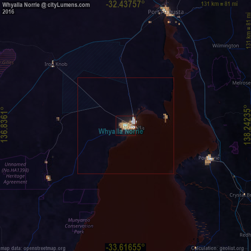
96.02%Clear (daylight) street map image can be seen on geolist.org.
Map coordinates:
32° 26' 15.3" South, 136° 50' 10" East
33° 1' 44.5" South, 137° 32' 21.2" East
33° 36' 59.6" South, 138° 14' 32.5" East
Some cities around Whyalla Norrie sort by population:
• Gawler
207.6 km =129 mi,  147°
147°
• Port Pirie
48.1 km =29.9 mi,  112°
112°
• Andrews Farm
210.5 km =130.8 mi, 150°
• Port Augusta
63.2 km =39.3 mi,  20°
20°
• Davoren Park
212.1 km =131.8 mi, 150°
• Nuriootpa
209.3 km =130.1 mi,  139°
139°
• Munno Para West
210.2 km =130.6 mi, 149°
• Gawler East
208 km =129.2 mi, 147°
8520165 (p: 6,760)
Sources (retrieved 2019-11-25):
» Earth at Night: Flat Maps 2012, 2016