Brisbane night lights from space
Night Light of Brisbane (Queensland) from space (Australia) Src. Average luminocity for 10x10km area is 95.1012% and for 50x50km: 45.2994%.
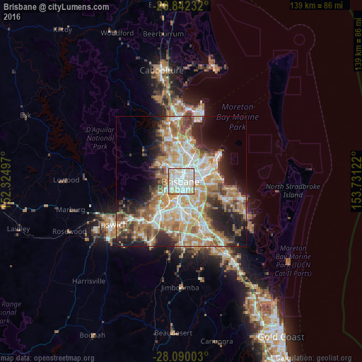
Analysis of Brisbane night lights 2016
Square area 10x10 km:
 35.91%
90-99
41.47%80-89
18.65%70-79
3.97%60-69
0%50-59
0%40-49
0%30-39
0%20-29
0%10-19
0%0-9
0%Square area 50x50 km:
8.89%90-99
9.64%80-89
5.75%70-79
6.39%60-69
12.08%50-59
4.25%40-49
4.74%30-39
4.67%20-29
7.45%10-19
9.39%0-9
26.74%Clear (daylight) street map image can be seen on geolist.org.
Map coordinates:
26° 50' 32.4" South, 152° 19' 29.9" East
27° 28' 4.6" South, 153° 1' 41.1" East
28° 5' 24.1" South, 153° 43' 52.4" East
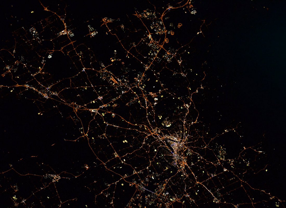
Fantastic image of Brisbane from space taken by astronauts [src2], but I don't have information about it's orientation, scale or angle. If necessary, it was rotated manually, so North points approximately to upper direction. Click to zoom in:
Some cities around Brisbane sort by population:
• New Farm
2 km =1.2 mi,  89°
89°
• West End
2.2 km =1.4 mi,  235°
235°
• South Brisbane
1.6 km =1 mi,  208°
208°
• Kangaroo Point
1.3 km =0.8 mi,  139°
139°
• Fortitude Valley
1.3 km =0.8 mi,  16°
16°
• Spring Hill
0.9 km =0.6 mi,  325°
325°
• East Brisbane
2.1 km =1.3 mi,  132°
132°
• Teneriffe
2.3 km =1.4 mi,  54°
54°
2174003 (p: 2,189,878)
Sources (retrieved 2019-11-25):
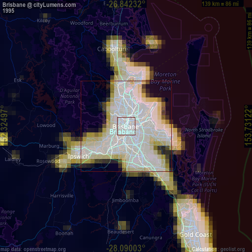
» NASA, Earths city lights 1995
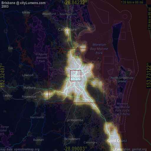
» NASA city lights 2003
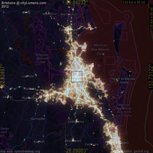
» Earth at Night: Flat Maps 2012, 2016
Src.2: Tim Kopra, Twitter/@astro_tim, 2016-04-26