Balwyn North night lights from space
Night Light of Balwyn North (Victoria) from space (Australia) Src. Average luminocity for 10x10km area is 80.8912% and for 50x50km: 51.514%.
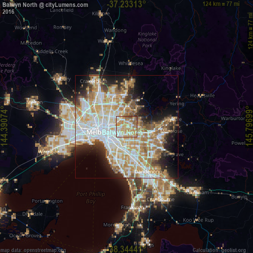
Analysis of Balwyn North night lights 2016
Square area 10x10 km:
 13.1%
13.1%90-99
22.96%80-89
15.82%70-79
23.47%60-69
15.82%50-59
6.8%40-49
2.04%30-39
0%20-29
0%10-19
0%0-9
0%Square area 50x50 km:
13.28%90-99
12.51%80-89
6.31%70-79
9.36%60-69
7.82%50-59
5.28%40-49
3.83%30-39
3.36%20-29
5.87%10-19
8.29%0-9
24.1%Clear (daylight) street map image can be seen on geolist.org.
Map coordinates:
37° 13' 59.3" South, 144° 23' 26.7" East
37° 47' 27.1" South, 145° 5' 37.9" East
38° 20' 39.9" South, 145° 47' 49.2" East
Some cities around Balwyn North sort by population:
• Doncaster
2.6 km =1.6 mi,  83°
83°
• Surrey Hills
2.9 km =1.8 mi,  169°
169°
• Templestowe Lower
3.4 km =2.1 mi,  36°
36°
• Box Hill North
3.2 km =2 mi,  114°
114°
• Bulleen
2.8 km =1.7 mi,  341°
341°
• Canterbury
3.8 km =2.4 mi,  191°
191°
• Kew East
3.6 km =2.2 mi,  258°
258°
• Mont Albert North
1.7 km =1.1 mi,  130°
130°
7932629 (p: 20,015)
Sources (retrieved 2019-11-25):
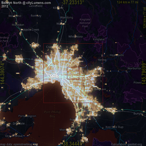
» Earth at Night: Flat Maps 2012, 2016