Ballarat night lights from space
Night Light of Ballarat (Victoria) from space (Australia) Src. Average luminocity for 10x10km area is 52.0081% and for 50x50km: 3.0622%.
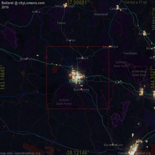
Analysis of Ballarat night lights 2016
Square area 10x10 km:
 6.66%
6.66%90-99
6.49%80-89
9.09%70-79
14.29%60-69
6.01%50-59
9.58%40-49
10.88%30-39
5.68%20-29
5.84%10-19
22.89%0-9
2.6%Square area 50x50 km:
0.28%90-99
0.27%80-89
0.38%70-79
0.74%60-69
0.35%50-59
0.54%40-49
0.53%30-39
0.44%20-29
0.45%10-19
2.72%0-9
93.3%Clear (daylight) street map image can be seen on geolist.org.
Map coordinates:
37° 0' 24.5" South, 143° 8' 47.2" East
37° 33' 58.4" South, 143° 50' 58.5" East
38° 7' 17.3" South, 144° 33' 9.7" East
Some cities around Ballarat sort by population:
• Wendouree
4.4 km =2.7 mi,  334°
334°
• Sebastopol
2.3 km =1.4 mi,  202°
202°
• Alfredton
2.9 km =1.8 mi,  269°
269°
• Darley
53.3 km =33.1 mi,  101°
101°
• Maryborough
58.7 km =36.5 mi,  350°
350°
• Bacchus Marsh
53.2 km =33.1 mi, 102°
• Delacombe
4 km =2.5 mi,  230°
230°
• Bannockburn
60.6 km =37.7 mi,  152°
152°
2177091 (p: 97,937)
Sources (retrieved 2019-11-25):
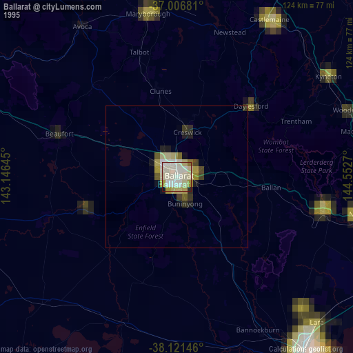
» NASA, Earths city lights 1995
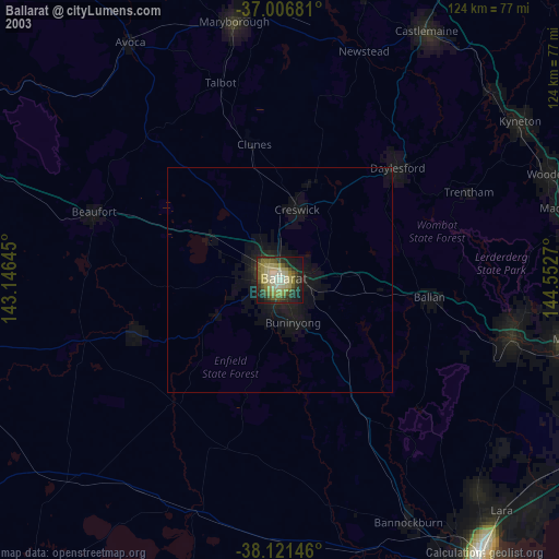
» NASA city lights 2003
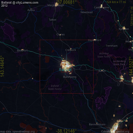
» Earth at Night: Flat Maps 2012, 2016