Annerley night lights from space
Night Light of Annerley (Queensland) from space (Australia) Src. Average luminocity for 10x10km area is 91.4881% and for 50x50km: 46.2313%.
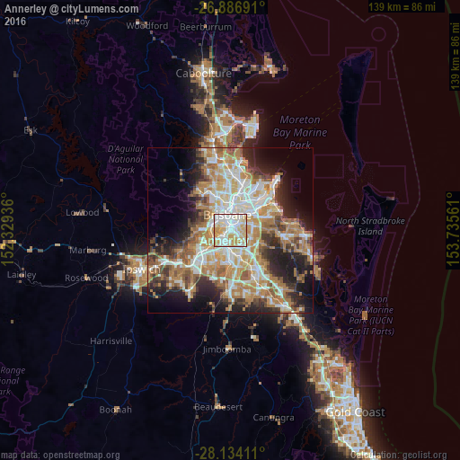
Analysis of Annerley night lights 2016
Square area 10x10 km:
 30.36%
90-99
31.15%80-89
20.63%70-79
17.26%60-69
0.6%50-59
0%40-49
0%30-39
0%20-29
0%10-19
0%0-9
0%Square area 50x50 km:
8.89%90-99
9.68%80-89
5.68%70-79
6.56%60-69
12.5%50-59
4.1%40-49
4.87%30-39
4.94%20-29
8.16%10-19
10.95%0-9
23.66%Clear (daylight) street map image can be seen on geolist.org.
Map coordinates:
26° 53' 12.9" South, 152° 19' 45.7" East
27° 30' 44.2" South, 153° 1' 56.9" East
28° 8' 2.8" South, 153° 44' 8.2" East
Some cities around Annerley sort by population:
• Coorparoo
3.3 km =2.1 mi,  50°
50°
• Tarragindi
2.1 km =1.3 mi,  142°
142°
• Moorooka
2.6 km =1.6 mi,  197°
197°
• Greenslopes
1.7 km =1.1 mi,  74°
74°
• Yeronga
1.6 km =1 mi,  256°
256°
• Woolloongabba
2.7 km =1.7 mi,  8°
8°
• Holland Park West
3.2 km =2 mi,  119°
119°
• Highgate Hill
2.9 km =1.8 mi,  332°
332°
8348815 (p: 11,158)
Sources (retrieved 2019-11-25):
» Earth at Night: Flat Maps 2012, 2016